Drone Mapping Accuracy – Part II – Real Time Kinematics (RTK)

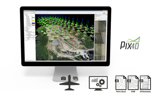
In an earlier post, we discussed Ground Control Points as a primary method of obtaining survey grade accuracy from drone mapping. The photogrammetry/mapping software (such as Pix4d Pro Mapper) uses these GCP to make adjustments to the project to obtain survey grade accuracy. However, this method requires laying out and precisely geolocating numerous control points (approximately every 1000 to 1500 feet). Depending on the terrain and/or the size of the project, the GCP method could be very impractical, difficult and time consuming. Another, arguably more advanced method, is referred to …
… Read More