BLOG | Blog - How To | General Drone Information | Industry Insights | Mapping - General | UAV Training
Components for Drone Mapping
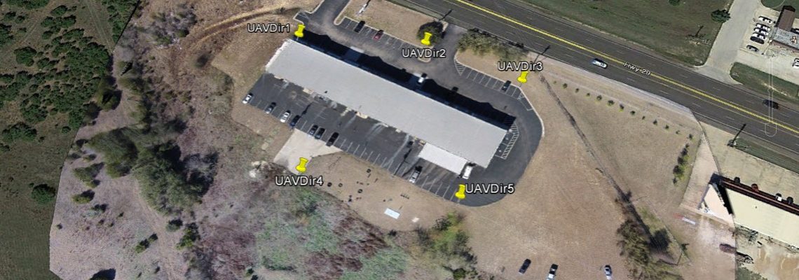
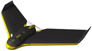
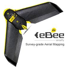
In this article we cover what’s actually needed – both in terms of hardware and software products, as well as the training and other items necessary to generate UAV mapping products. 1. Drone (UAV) – Fixed Wing or Multirotor Multirotors are a great initial platform – they’re less expensive, easier to fly and the smaller datasets (due to the smaller area covered) are faster to process. A DJI Phantom 3 Advanced or Pro makes a great low-cost starter platform, while a Phantom 4 Pro is not significantly more expensive and …
… Read More