In this article we cover what’s actually needed – both in terms of hardware and software products, as well as the training and other items necessary to generate UAV mapping products.
1. Drone (UAV) – Fixed Wing or Multirotor
- Multirotors are a great initial platform – they’re less expensive, easier to fly and the smaller datasets (due to the smaller area covered) are faster to process. A DJI Phantom 3 Advanced or Pro makes a great low-cost starter platform, while a Phantom 4 Pro is not significantly more expensive and is a better overall platform due to longer flight times, better stability / wind resistance and a better camera.

-
- Fixed wing drones, on the other hand, can cover much larger areas (up to 400 acres per flight as opposed to around 30 acres with a multirotor)

With either platform, once the images are captured, the rest of the workflow is identical. Many people start off with a multirotor, and then once they’ve learned the workflow and have generated income, add a fixed wing drone.
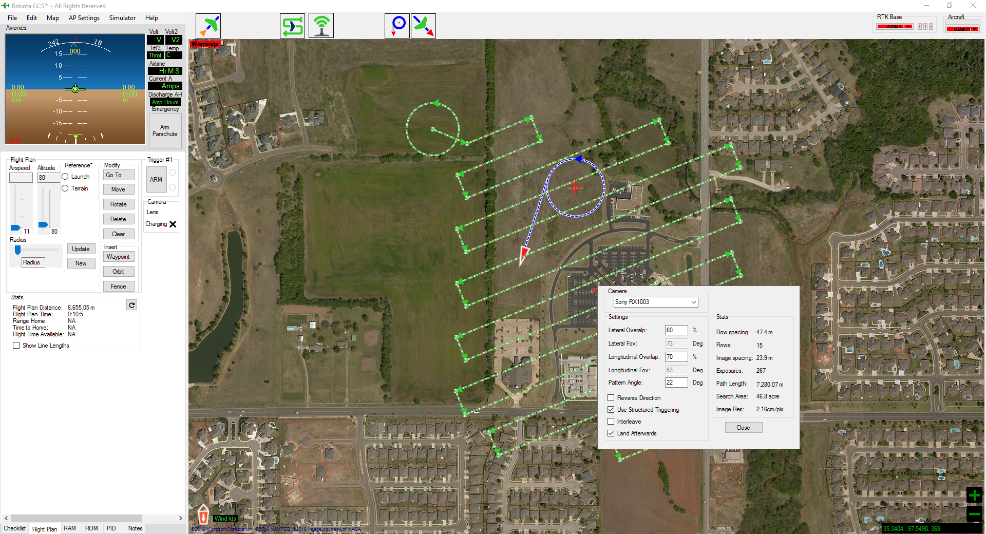
2. Mapping Flight Planning Software
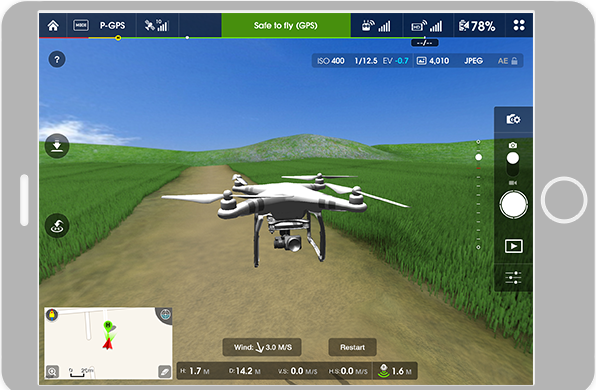
(Controls drone while capturing numerous images with proper overlap). For multirotors, we recommend DJI products due to the many different software apps that support the DJI (Phantom, Mavic, Inspire, Matrice aircraft). This software is either free (included with the aircraft), or very low cost ($5-$20)
- Most multirotors use either as an iOS or Android app (e.g. Pix4D capture app, Map Pilot for DJI (our favorite) or Drone Deploy)
- Fixed wings tend to use a Windows program through a laptop or tablet
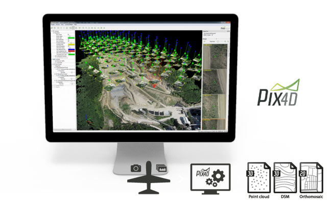
3. Post-Processing Software
(Where the heavy lifting is done – takes the images (from either multirotors or fixed wing drones) and provides the various output products)
- Desktop (e.g. Pix4D Pro Mapper) or,
- Online Processing (Drone Deploy or Maps Made Easy)
4. Tablet or Smart Phone
- Multirotors use either an iOS or Android smart phone or tablet for image capture
- Fixed wings generally use a Windows program through a laptop or tablet
5. Desktop or Laptop Computer
- Desktop PC
- MAC OS post processing programs are being developed by some image processing software developers and are suitable for online processing)or capable laptop for desktop processing
6. Training
- Drone flight and systems
- Image capture
- Image post-processing
7. Licensing
- FAA Part 107 Pilot Certification (for commercial Operations)
