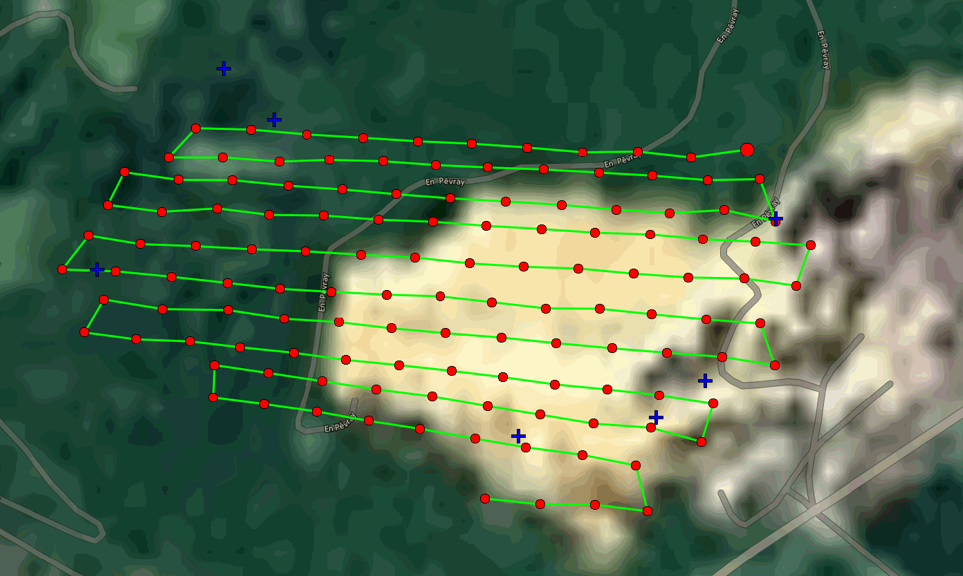
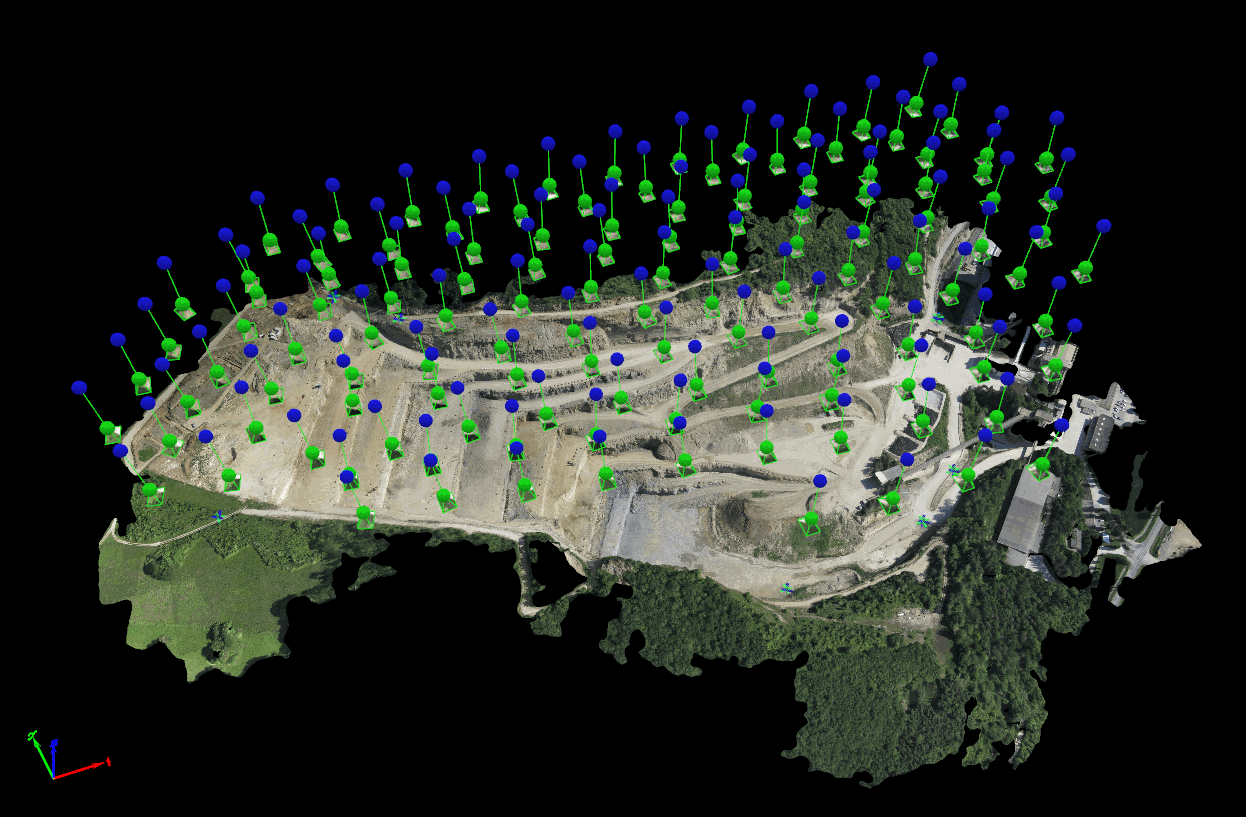
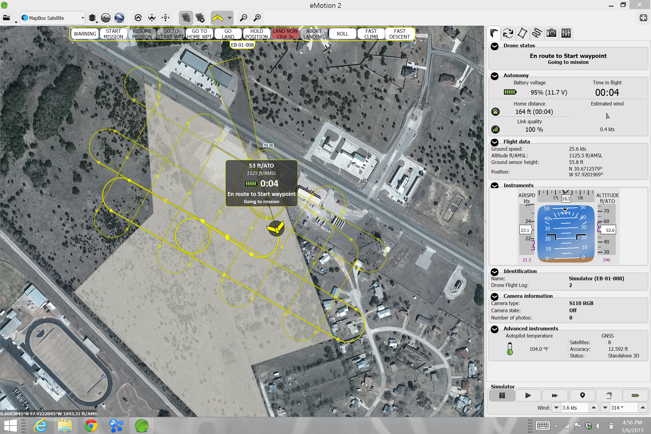
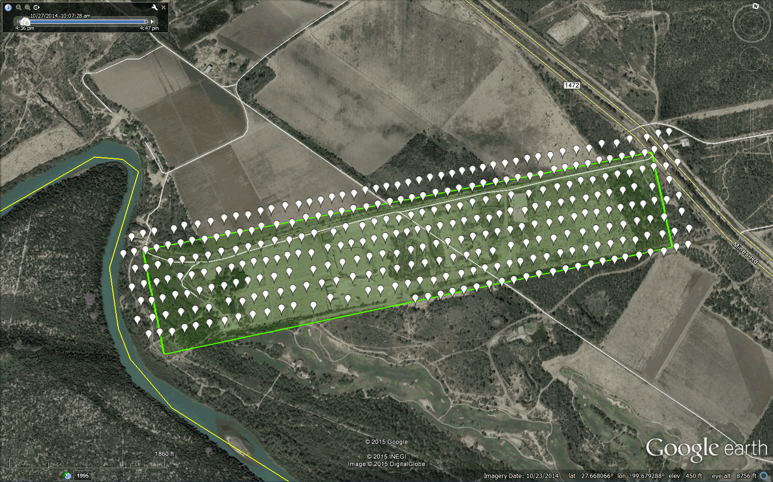
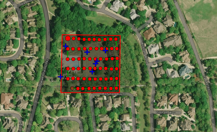
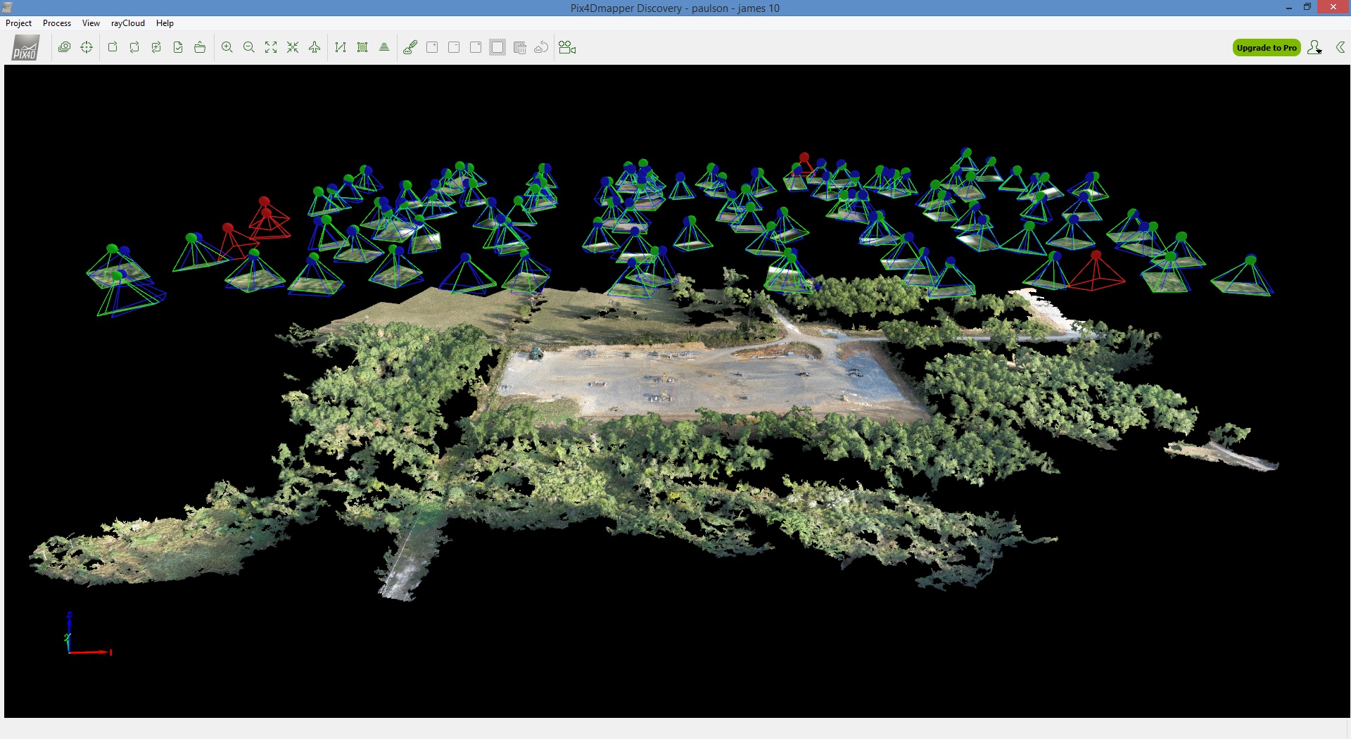
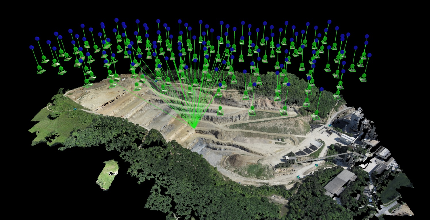
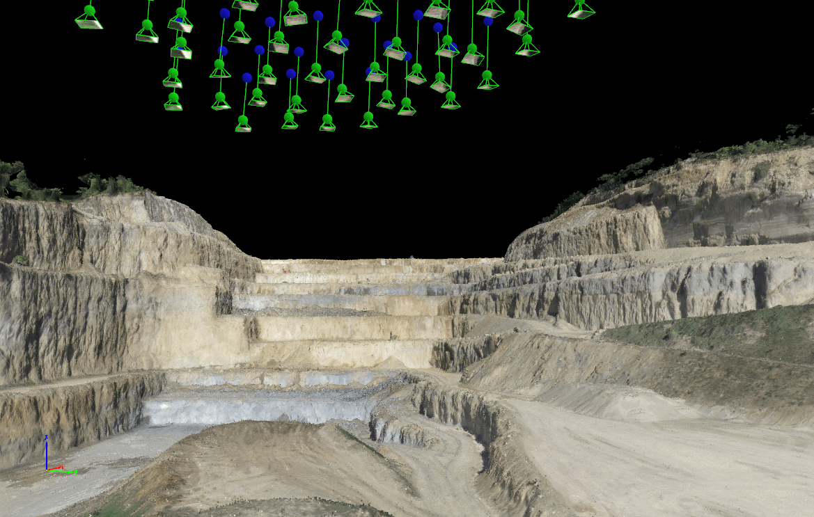
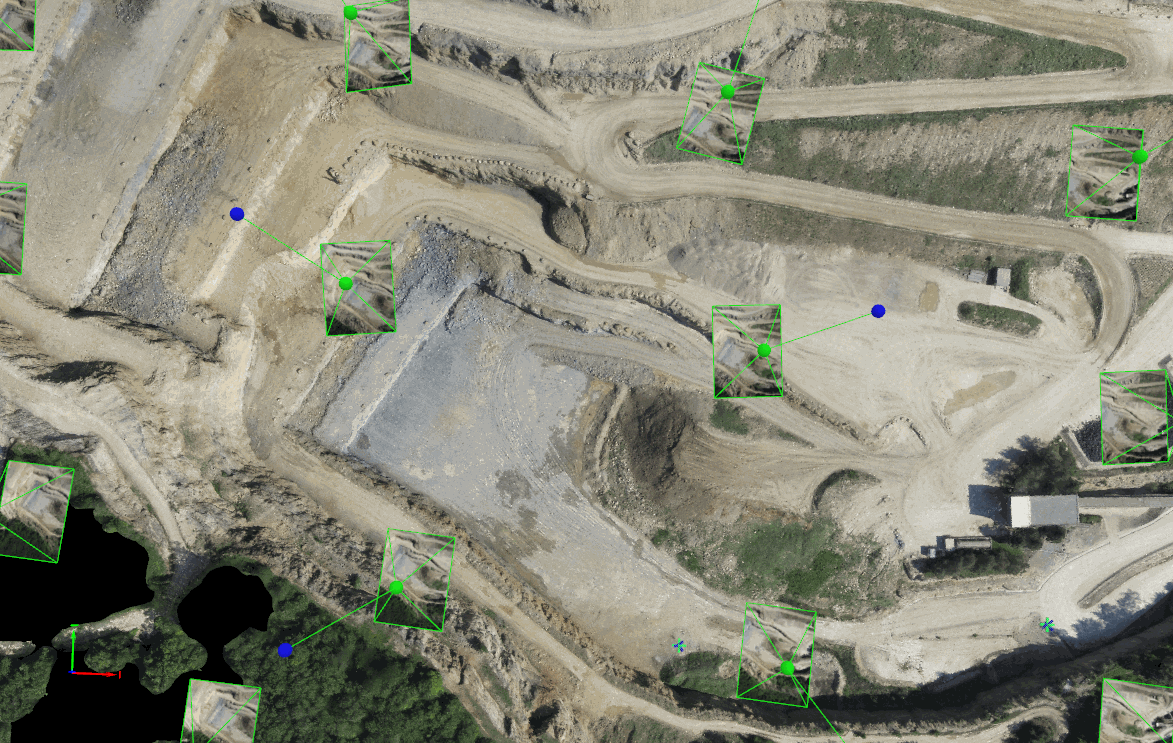
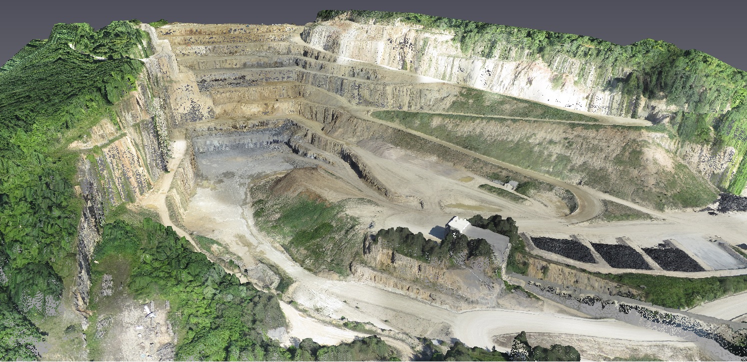
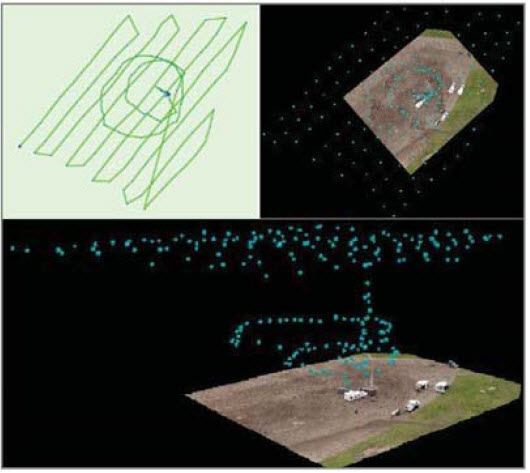
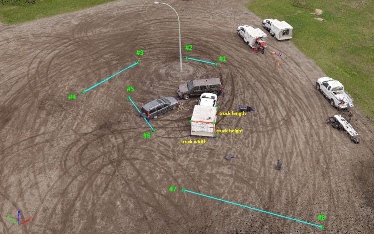
Vertical Aspect can provide custom mapping services, generally with very short turnaround. After detailed mission planning (determining client parameters such as area to be covered, frequency of mapping, etc.), we fly the mission using whichever UAV type (fixed wing or multirotor) is appropriate for the location. Then we process the data according to client specification, including such details as:
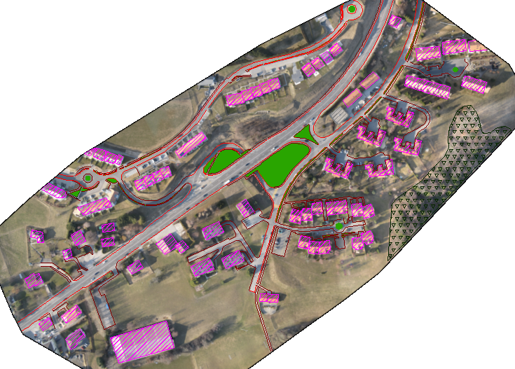
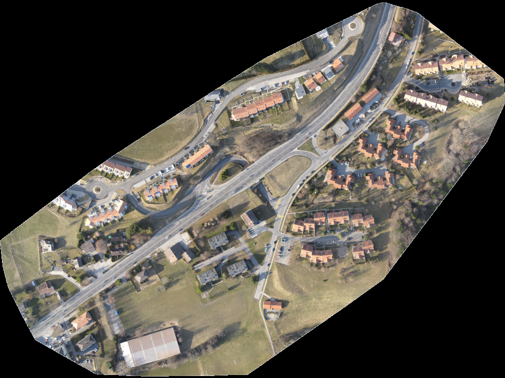
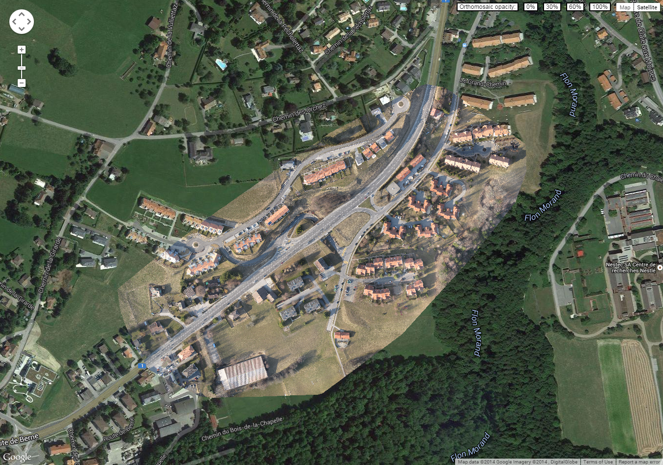
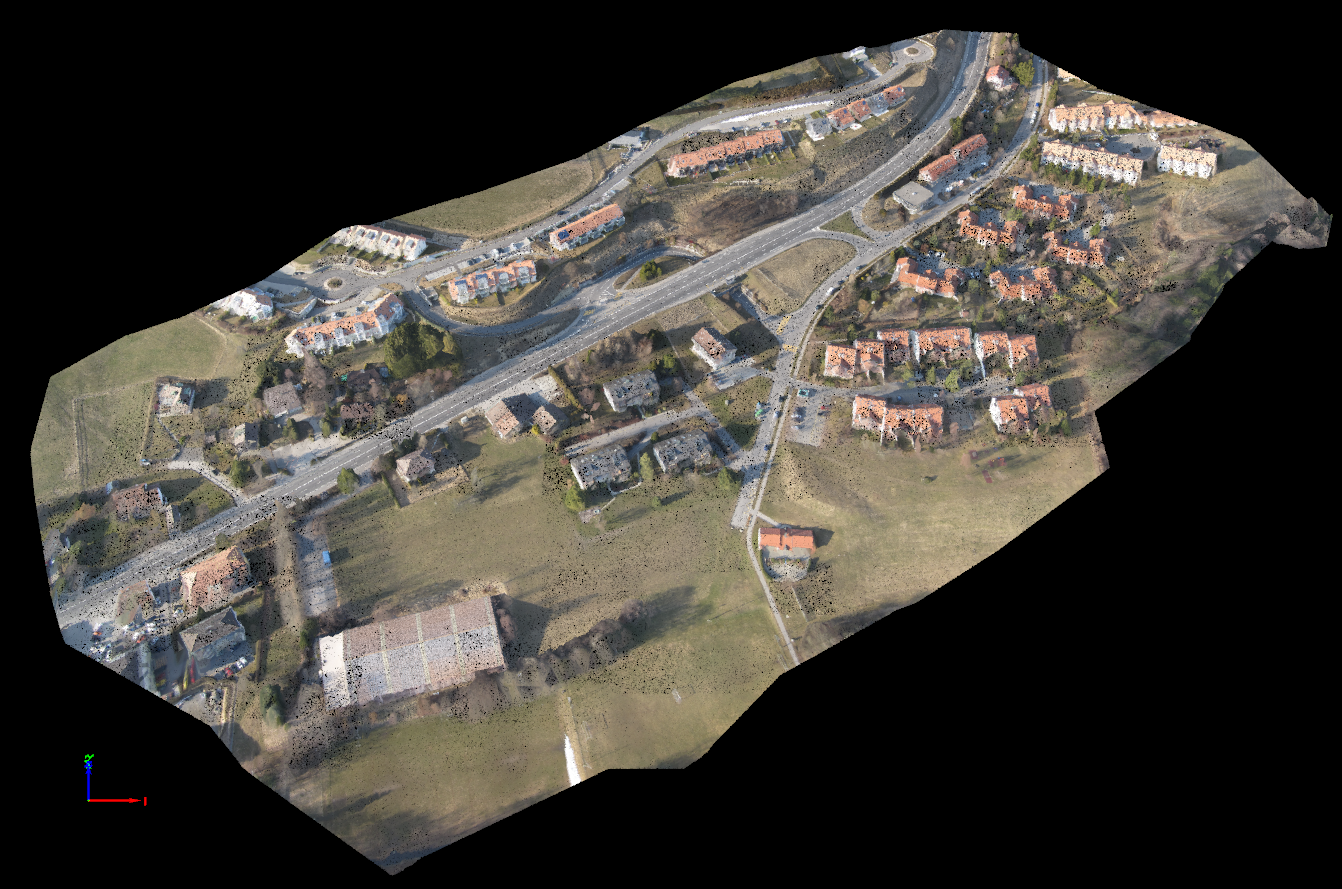
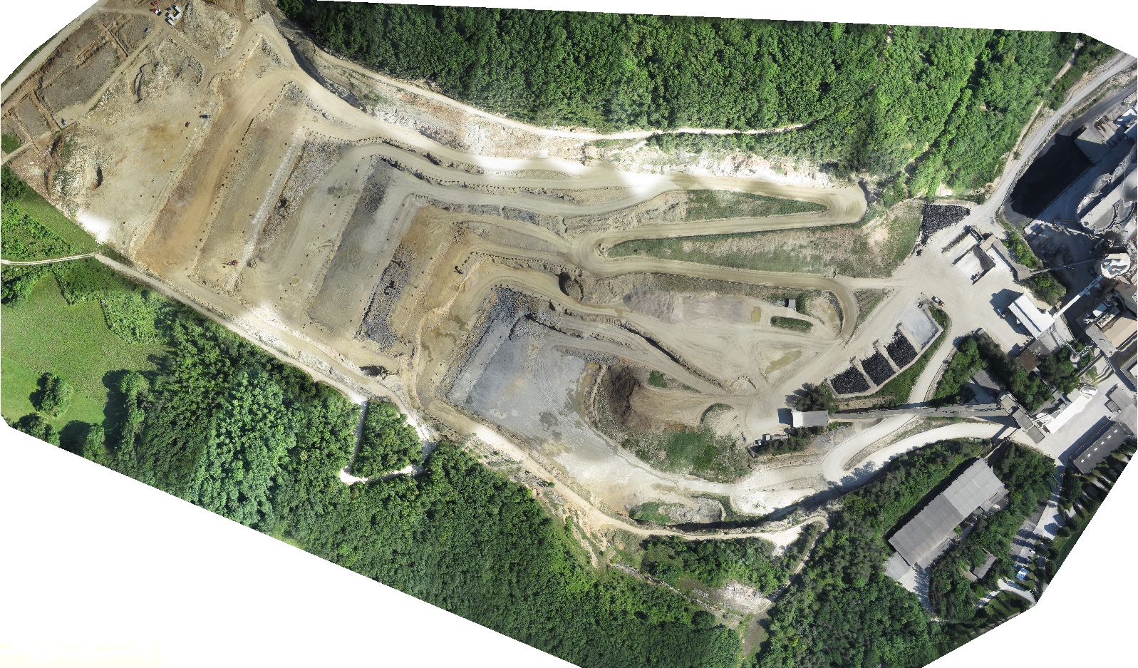
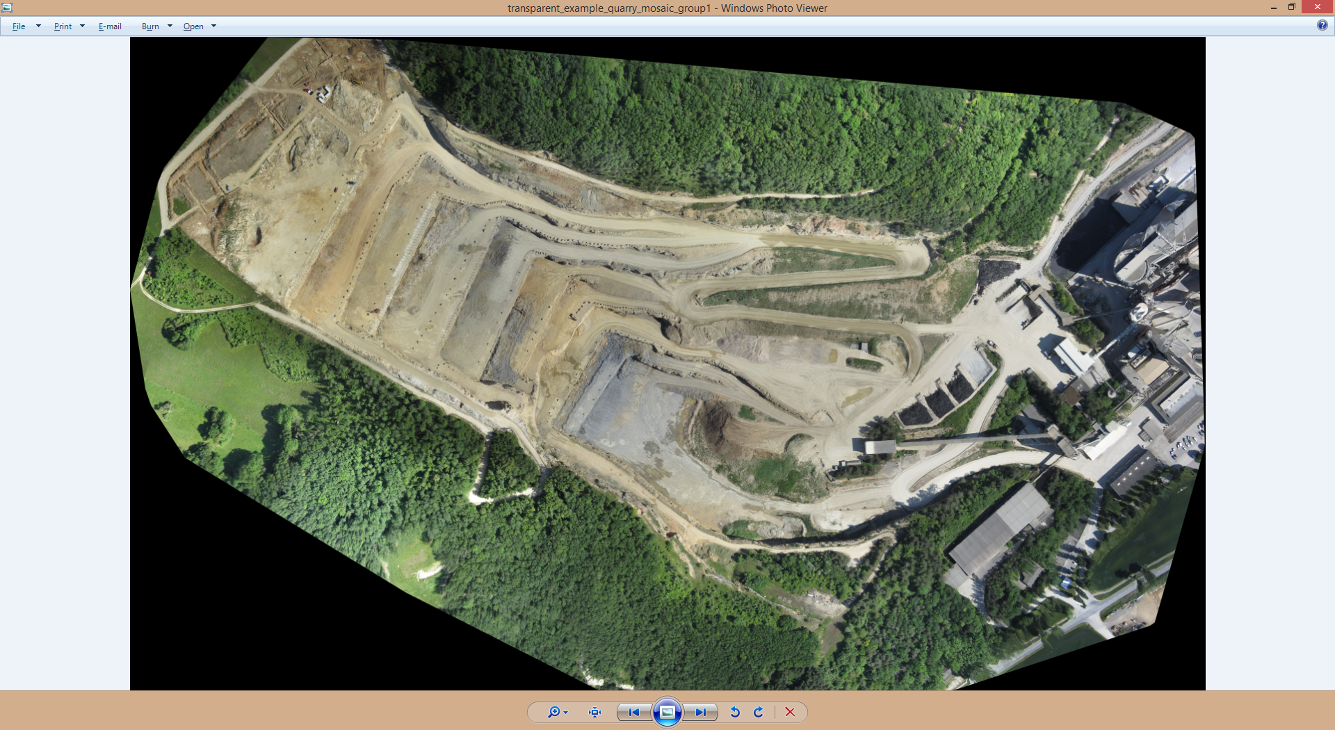
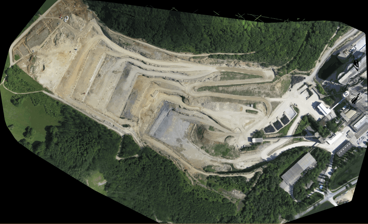
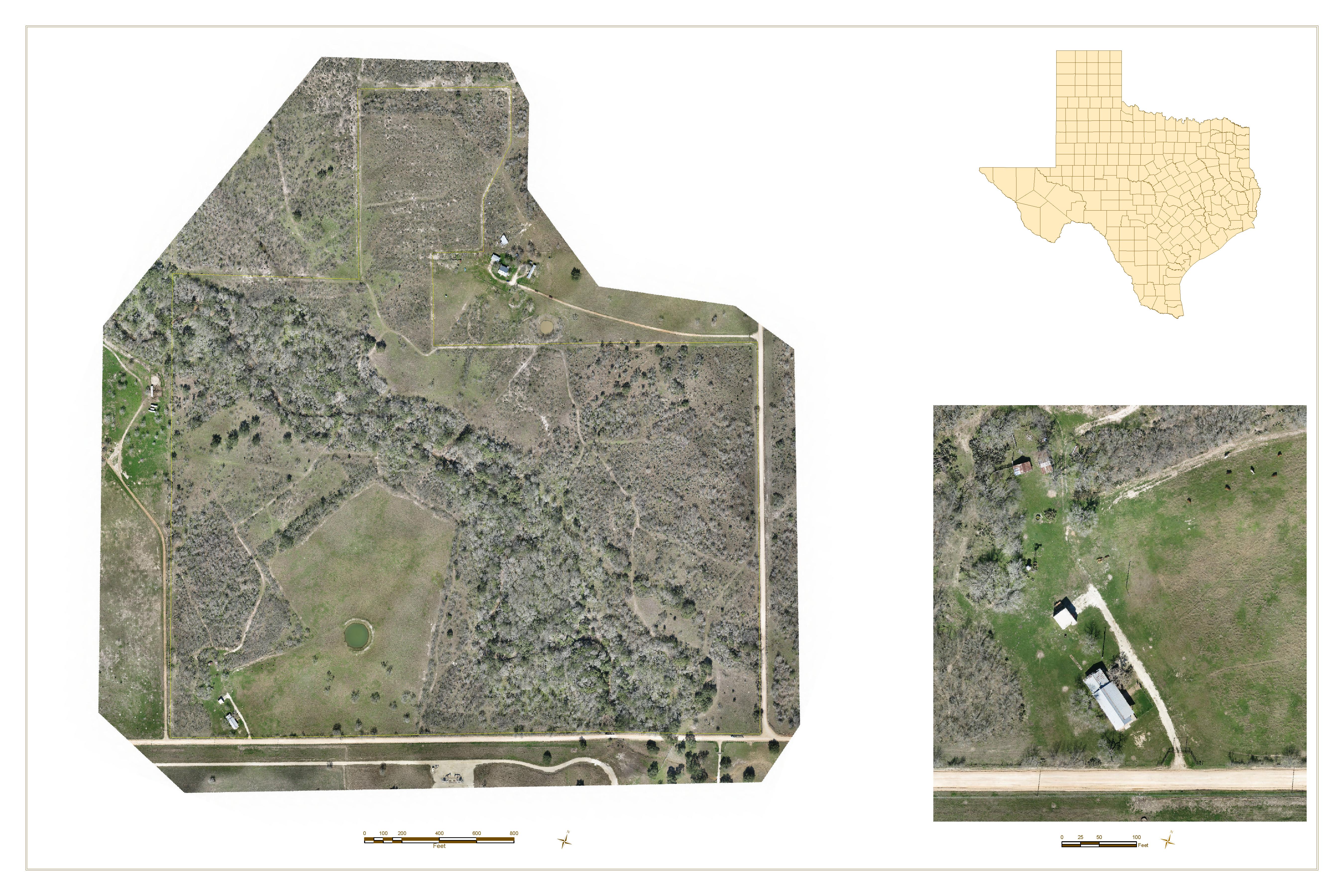
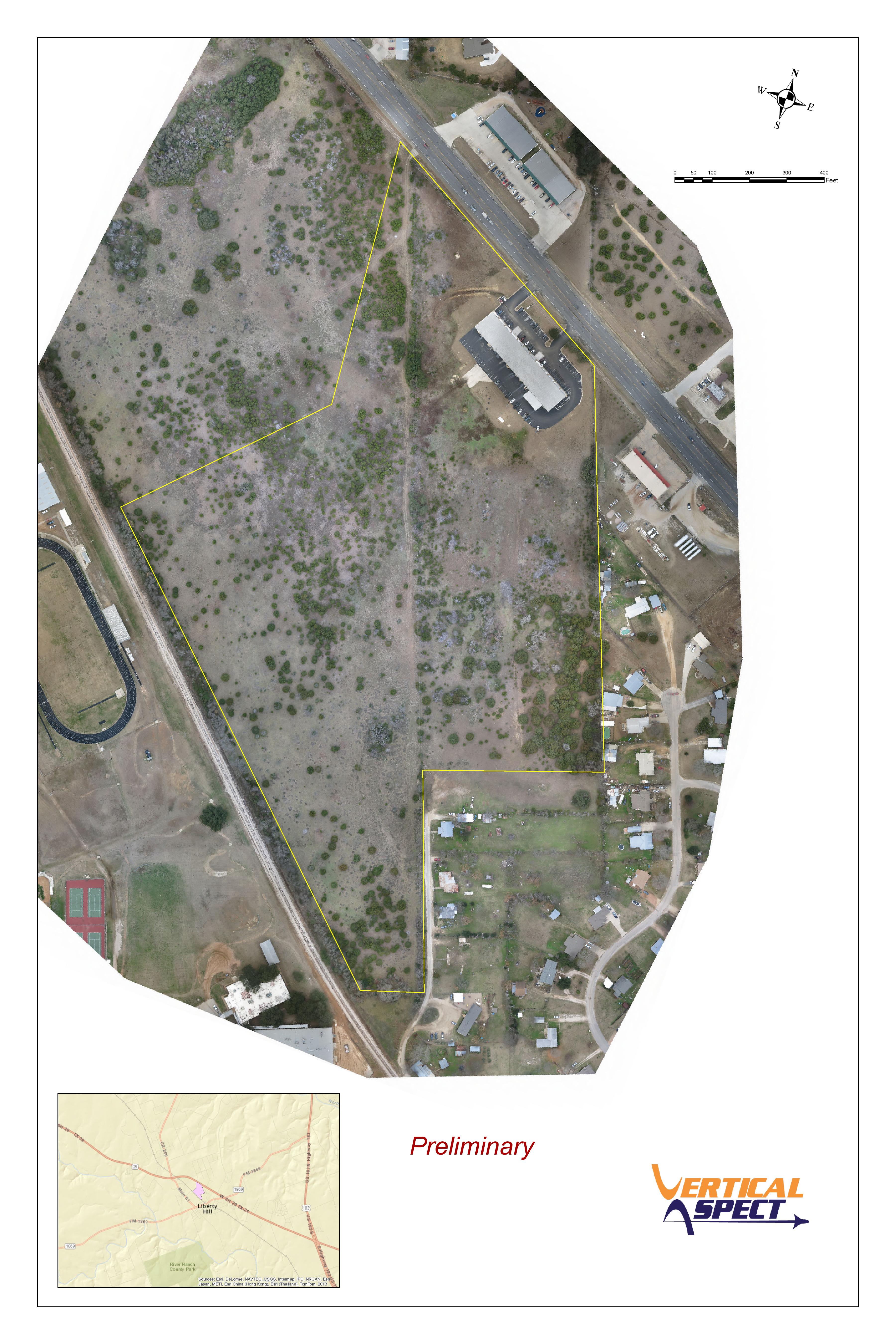
- Georectified orthomosaic
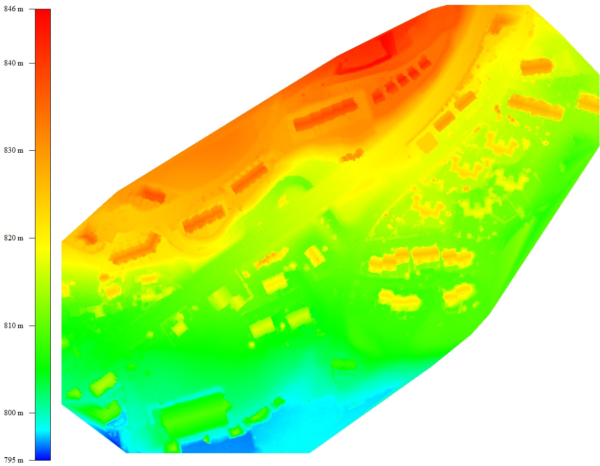
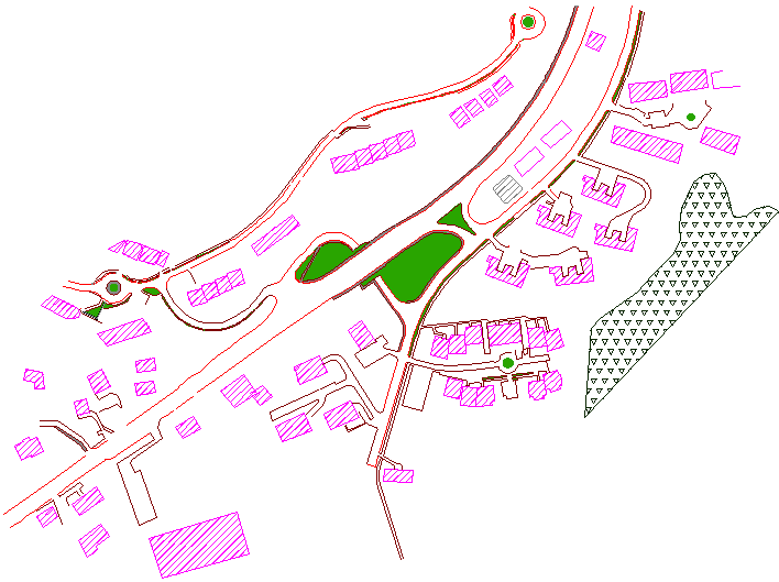
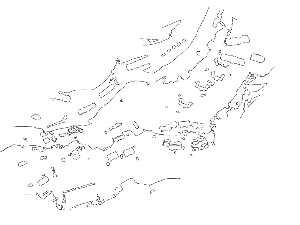
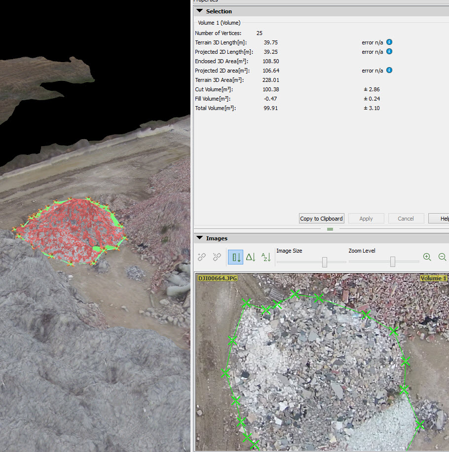
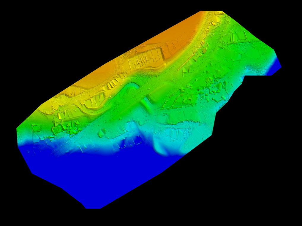
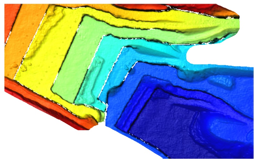
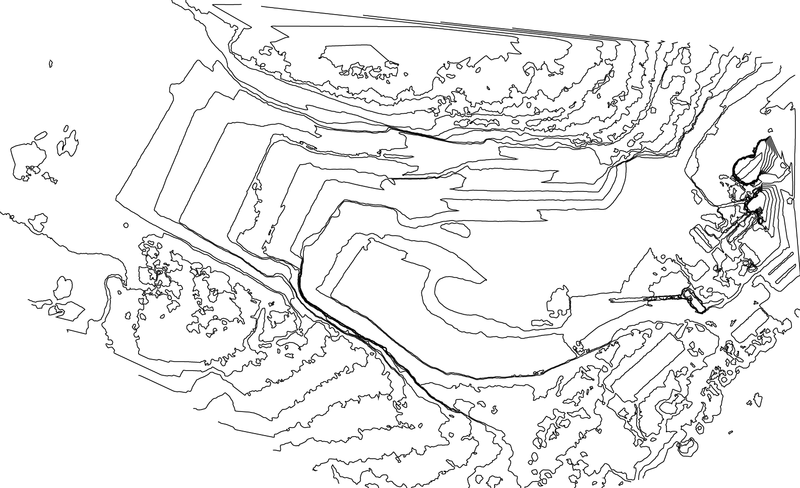
- Topographic overlay
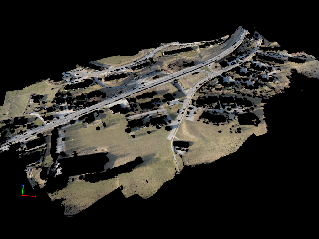
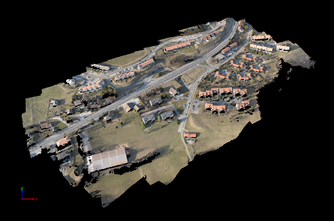
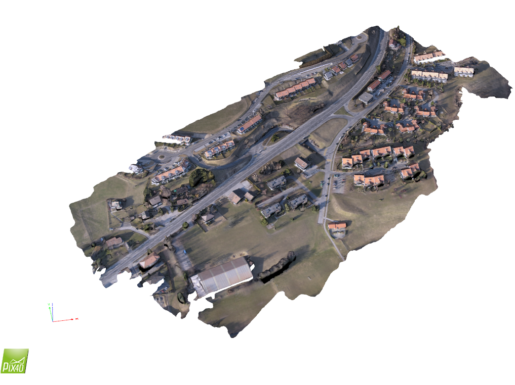
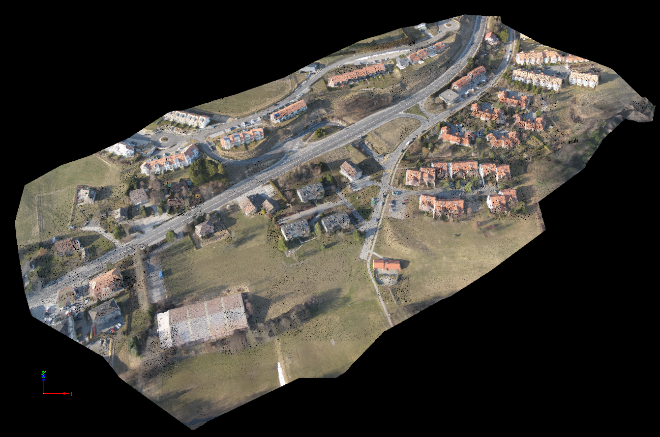
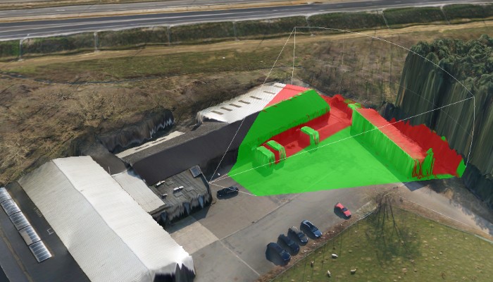
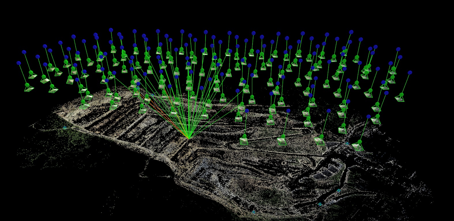
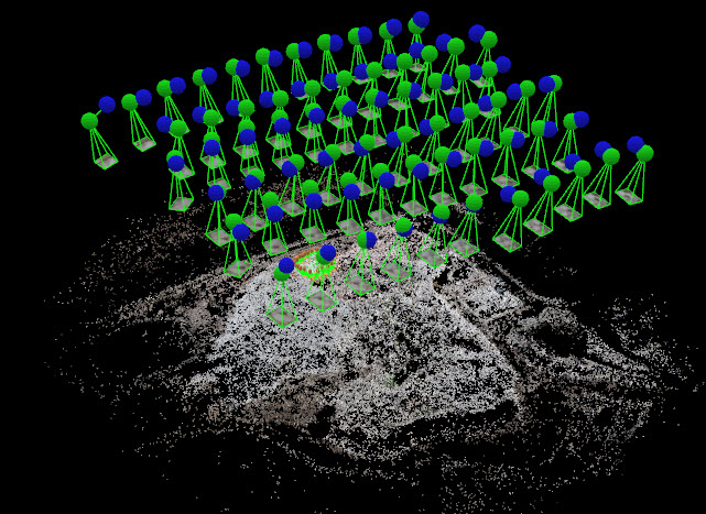
- 3D Model
- Output to Global Mapper, ArcGIS,AutoCAD, etc.
- Provide the map in printed, electronic or online format
Vertical Aspect’s Mapping Overview Presentation

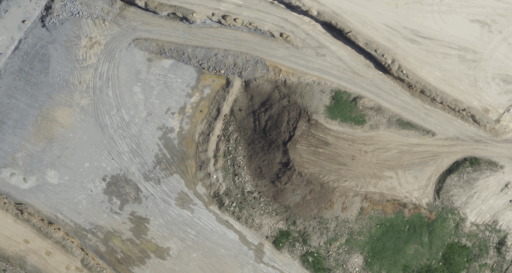
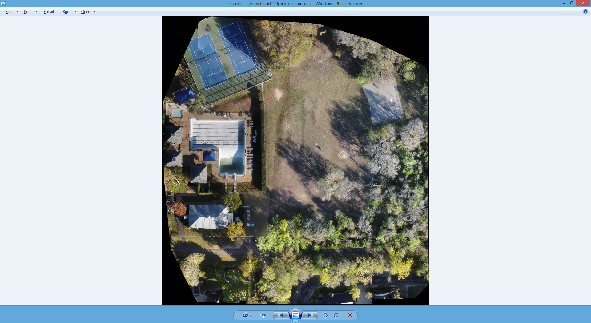
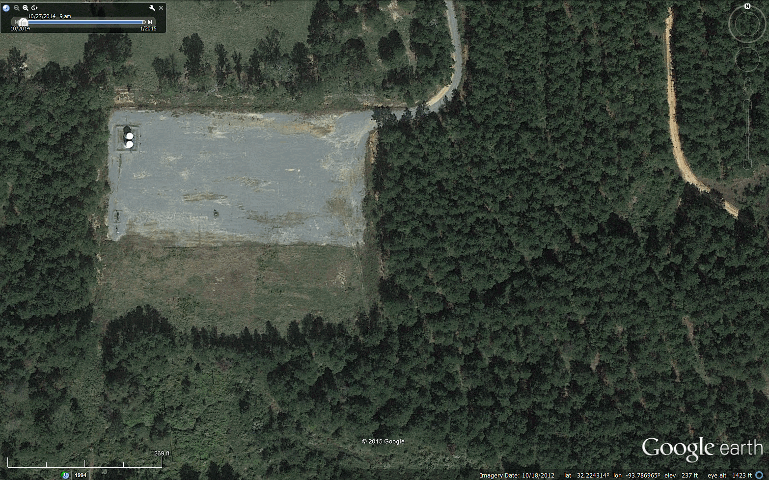
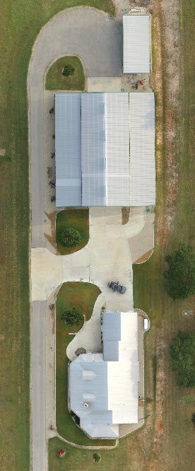
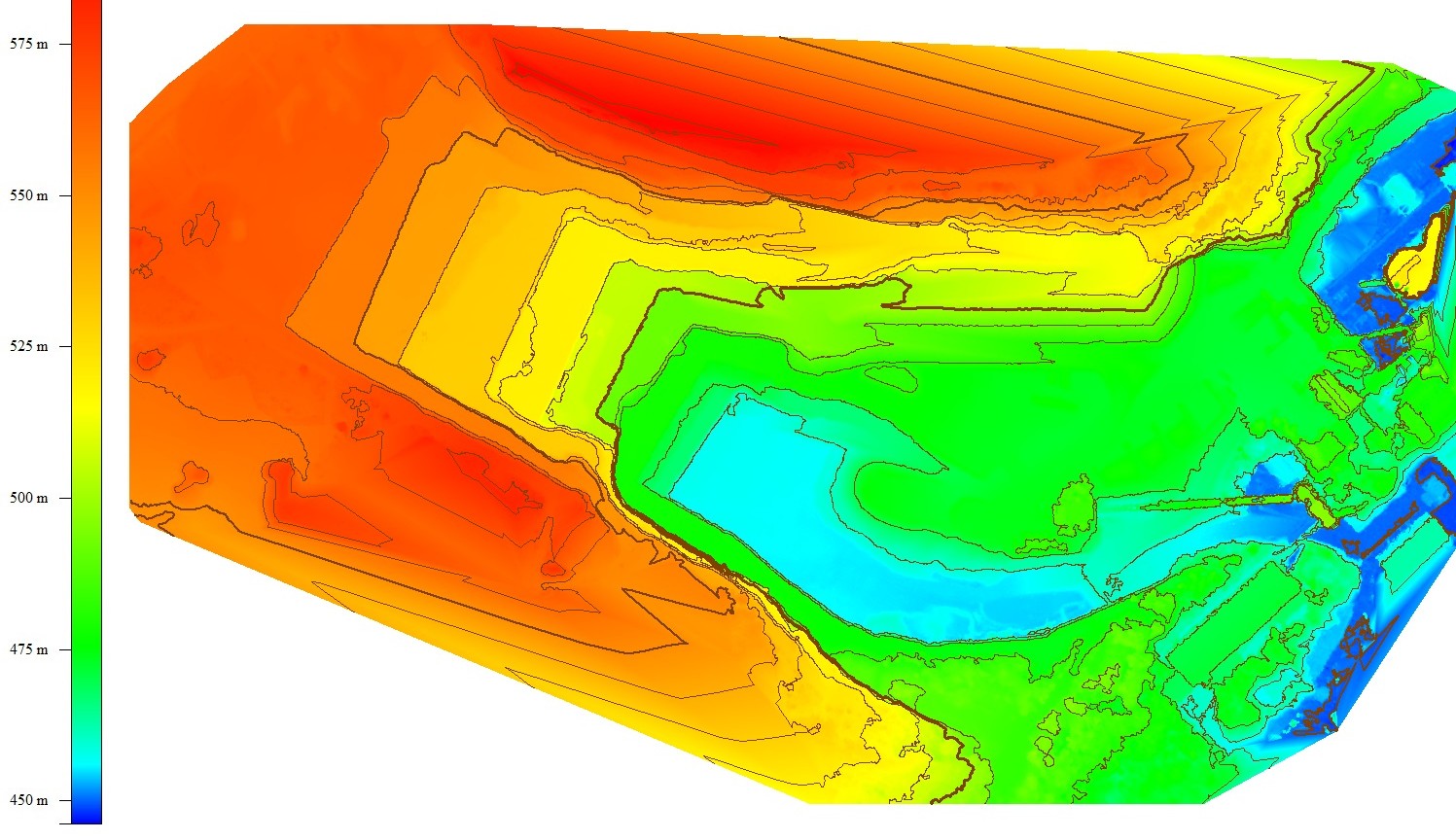
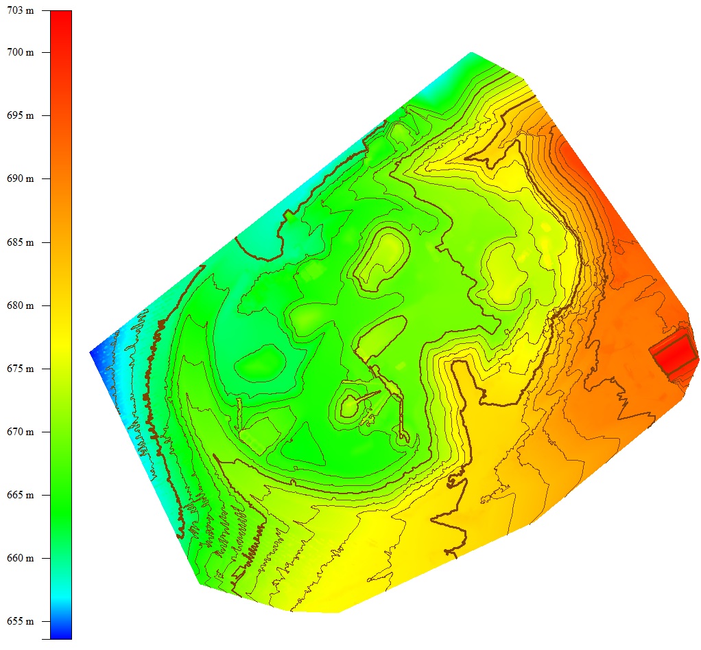
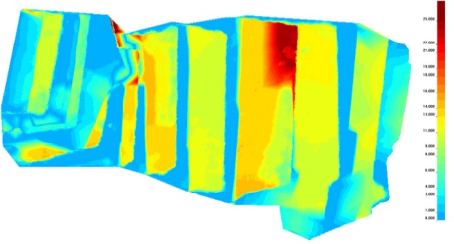
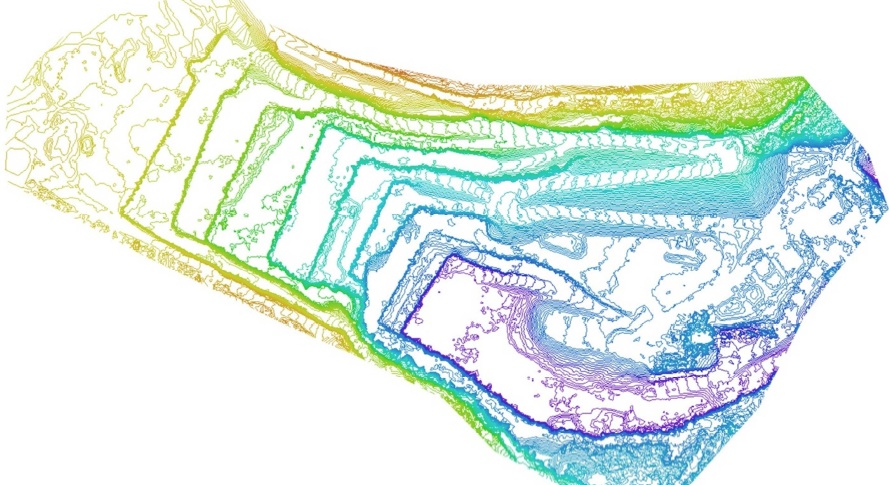
Aerial Mapping Examples by Category


Not sure where to start?
Vertical Aspect can help find the right solutions to fit your UAV needs.