Home
About Us
Vertical Aspect Team
Vertical Aspect Offerings
Products
Pix4D Pro Mapper
Robota Eclipse
Virtual Surveyor
Services
Aerial Imagery Services
Training
UAV Consulting
UAV Mapping Services
Gallery
Video Gallery
Our Blog
Resources
UAV Mapping Apps & Links
Frequently Asked Questions
Presentations
Training Videos
Financing & Credit
Sitemap
Contact Us
Search Results for
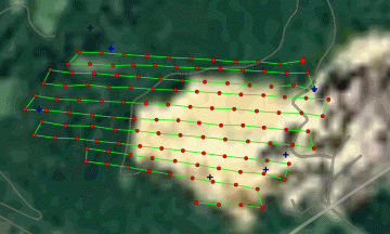
Quarry Flight Path and photo locations
Post
…
Read More
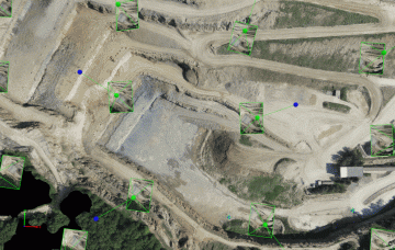
Quarry 3D looking down
Post
…
Read More
DCIM104MEDIA
Post
…
Read More
IMG_2191
Post
…
Read More
DCIM100GOPRO
Post
…
Read More
GOPR1433
Post
…
Read More
DCIM100GOPRO
Post
…
Read More
GOPR0264 C
Post
…
Read More
G0072002
Post
…
Read More
G0021862
Post
…
Read More
1
…
16
17
18
19
20
21
Username or Email Address
Password
Remember Me
Search for:
Search for:
Home
About Us
Vertical Aspect Team
Vertical Aspect Offerings
Products
Pix4D Pro Mapper
Robota Eclipse
Virtual Surveyor
Services
Aerial Imagery Services
Training
UAV Consulting
UAV Mapping Services
Gallery
Video Gallery
Our Blog
Resources
UAV Mapping Apps & Links
Frequently Asked Questions
Presentations
Training Videos
Financing & Credit
Sitemap
Contact Us