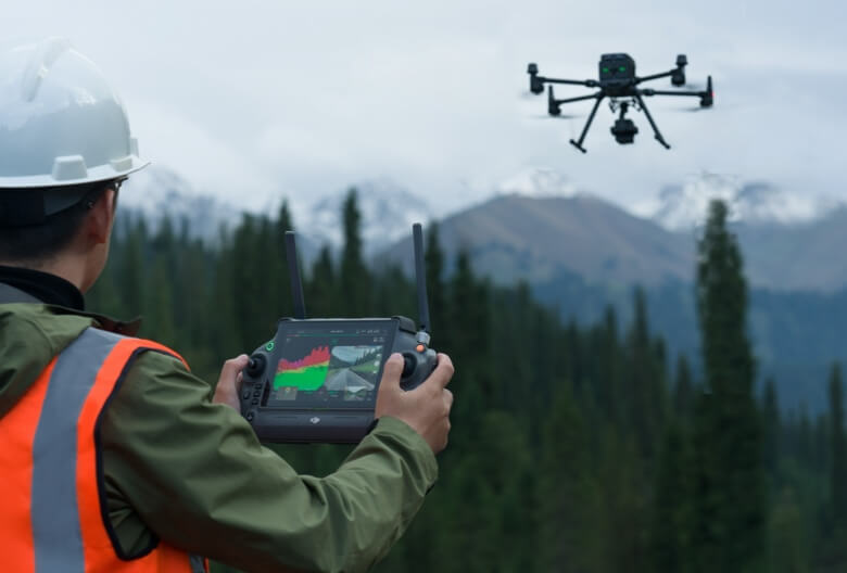
Transform your surveying and mapping projects with the DJI Zenmuse L2 - the most advanced professional-grade aerial LiDAR system engineered for unparalleled precision and efficiency.

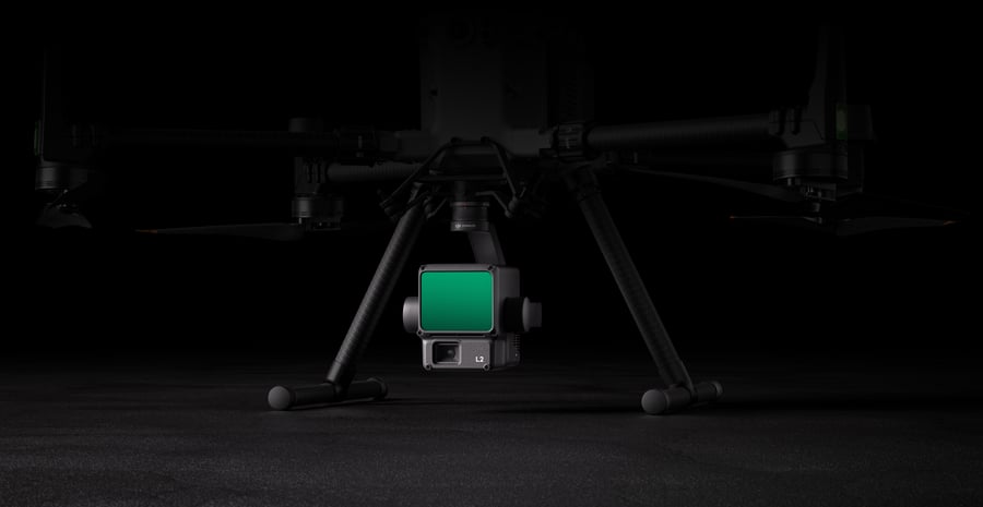
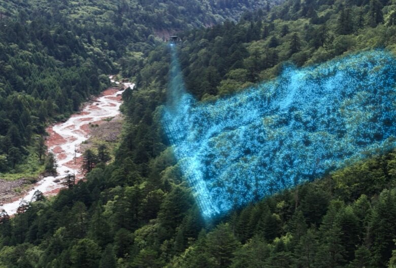
The Zenmuse L2 represents a quantum leap in aerial surveying technology, seamlessly combining a high-performance LiDAR module with a sophisticated 4/3 CMOS RGB mapping camera and precision IMU system. This powerful integration creates a comprehensive data collection platform that captures both geometric precision and visual detail in a single flight operation.
Built for professionals who refuse to compromise on accuracy, the L2 achieves remarkable 4 cm vertical accuracy and 5 cm horizontal accuracy at 150 meters working height. The system's extended detection range reaches an impressive 450 meters at 50% reflectivity, ensuring you capture every critical detail across vast survey areas.