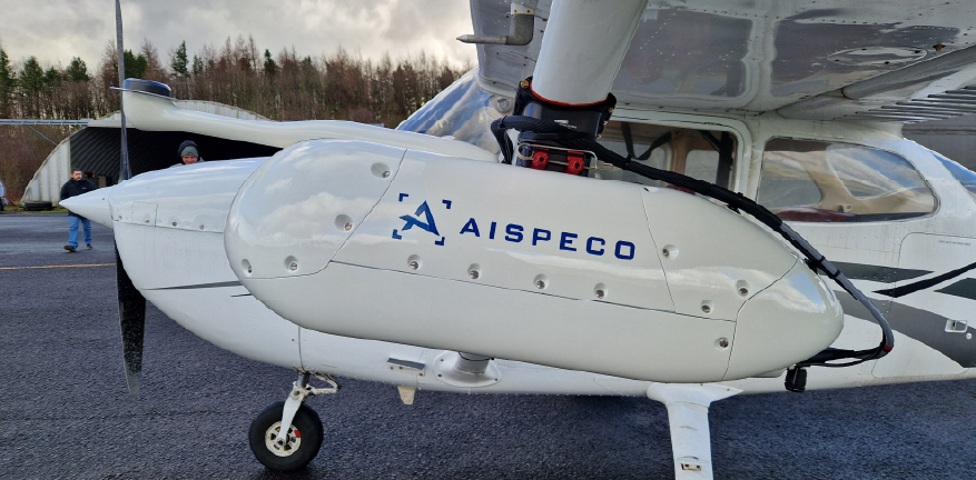
Drone platforms, Lidar sensors, and aerial payloads configured for precision data capture across drone, light-aircraft, and helicopter platforms.
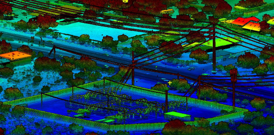
Lidar processing, photogrammetry, and mapping tools for pointcloud classification, surface modeling, and deliverable production.
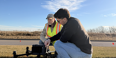
Licensing, workflow troubleshooting, onboarding, and hands-on training from specialists who've worked your data.