Every project begins with a vision but often gets derailed by technology roadblocks, workflow inefficiencies, and implementation challenges. Vertical Aspect bridges the gap between ambitious project goals and the practical realities of geospatial operations. Our experts service the complete lifecycle from initial consultation through ongoing support, ensuring your organization achieves optimal results from advanced spatial technologies.
Our consultative approach begins with understanding your specific challenges and objectives through detailed discovery sessions that explore both current capabilities and future goals. Whether you need to modernize existing workflows, implement new technologies, or optimize current operations, Vertical Aspect provides the expertise and support necessary to ensure your success.

Our team specializes in integrating geospatial software into existing workflows. We understand that successful technology adoption requires careful consideration of existing processes, and our integration approach minimizes disruption while delivering immediate improvements in productivity and accuracy.

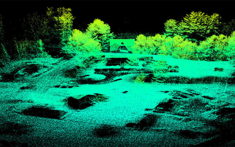
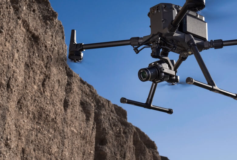
We offer carefully curated selections of professional-grade geospatial platforms tailored to your specific mapping requirements. Through our strategic partnerships, we provide access to cutting-edge sensors including advanced LiDAR systems and lightweight LiDAR technology, with our expanding sensor portfolio including next-generation LiDAR systems alongside premium imaging sensors from industry leaders.

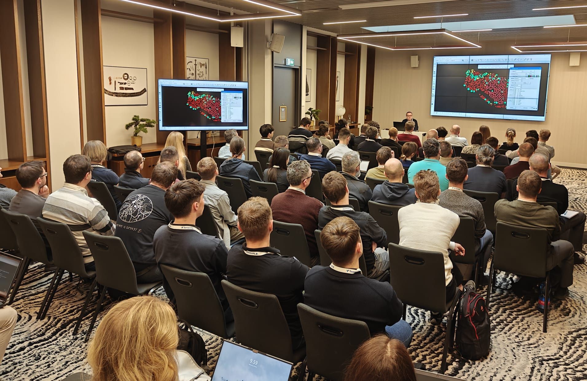
Our training programs accelerate adoption and maximize ROI through expertly designed educational experiences. We deliver comprehensive software training on advanced Terrasolid functionality and workflow optimization, ensuring your team masters industry-standard geospatial tools. Our professional drone operation training covers flight operations and safety protocols, providing essential knowledge for safe, efficient, and compliant operations that integrate seamlessly with your workflows.