Drone Mapping Accuracy – Part I – Ground Control Points (GCP)
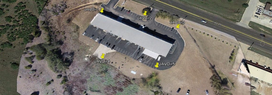
In the business of UAV mapping, accuracy is everything. As my surveyor partner indicates, “If you don’t have an accurate project, it’s nothing more than a pretty picture…”. Close enough is great if you are playing horseshoes or tossing hand grenades. However, if you are doing UAV mapping, being “close enough” is a waste of your time and your clients’ money. So, how do you obtain the highest amount of accuracy in your drone mapping project? The most common method is to use Ground Control Points. (Another method, Real Time …
… Read More