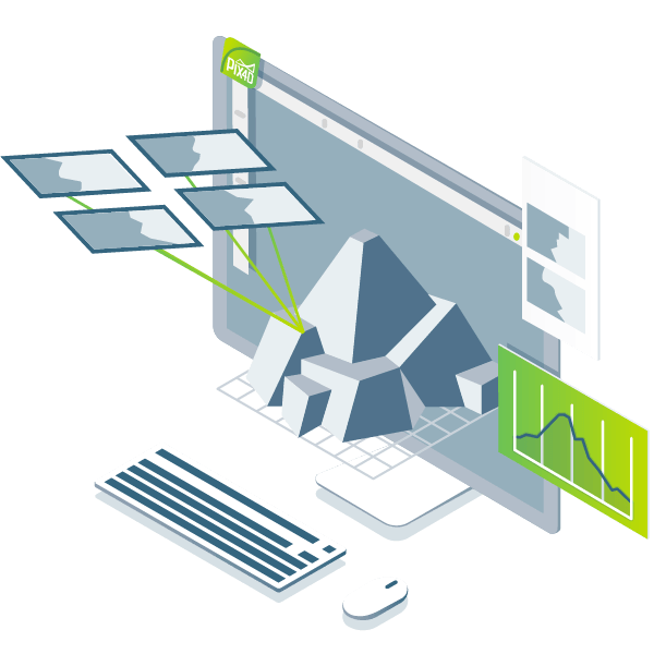
Pix4D is the industry-leading software solution that converts UAV imagery into professional mapping products. Turn thousands of aerial and oblique images from any drone or aircraft into:
Pix4D’s advanced automatic aerial triangulation technology works purely from image content, allowing any drone or camera to function as a professional mapping and surveying tool.
Why Professionals Choose Pix4D:

Advanced photogrammetry algorithms convert ground or aerial images into precise digital maps and detailed 3D models.

Control project accuracy through detailed quality reports and make adjustments using Ground Control Points (GCPs).