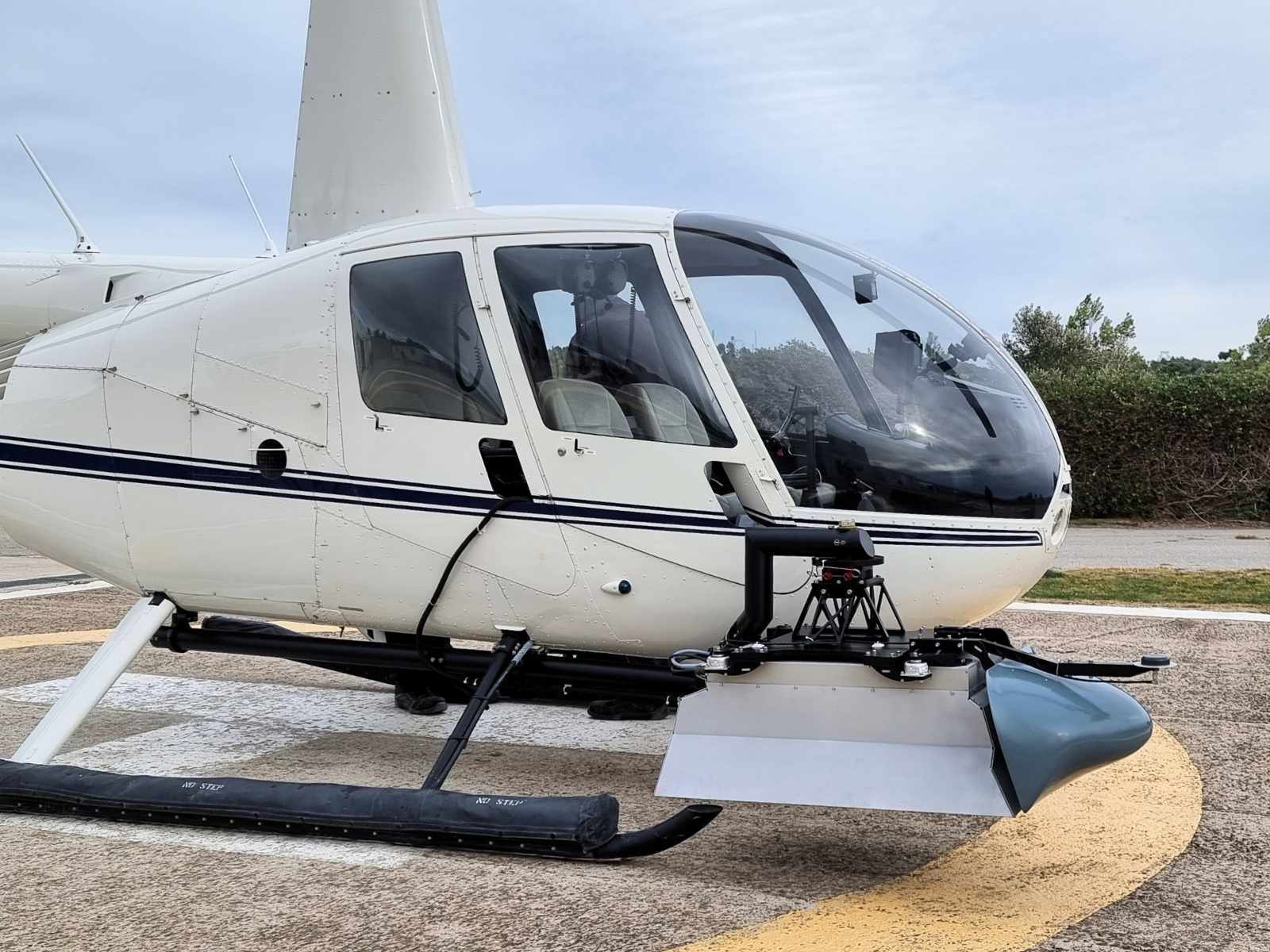
AISPECO's multi-sensory airborne payload enables rapid deployment without aircraft modifications. The configurable system integrates cameras and LiDAR from leading sensor manufacturers including RIEGL, Teledyne-Optech, Phase One, Sony, Jenoptik, and FLIR.

The system adapts seamlessly between aerial (helicopter) and mobile mapping platforms (trains, vehicles), allowing users to reconfigure data collection methods and upgrade sensors without replacing the entire system.
Designed for single-pass data collection, the system supports corridor mapping, wide-area surveys, and specialized applications across utilities, forestry, mining, urban planning, and other commercial sectors.
The fully wireless cabin design eliminates installation wiring requirements while adapting to existing airframes. Low power consumption enables battery operation or connection via low-amp sockets, allowing aircraft changes during maintenance with just two hours of technician time.
The mix-and-match system enables customers to configure cameras, sensors, and LiDAR units at customizable angles, tailoring each setup to meet specific project requirements and data collection objectives.
Aerial data collection systems feature FAA/EASA-approved mounting options, ensuring compatibility with most popular helicopter and airplane models without requiring aircraft modifications.
The system offers user-changeable sensor configurations, enabling effortless customization and adaptation of data collection methods. Users can modify or upgrade individual sensors without replacing the entire system, maximizing investment value and operational flexibility.
Adjust heading and pitch angles to optimize sensor configurations for any application requirement.

