The AA6 replaces its predecessor's core laser and waveform processing pipeline, with measurable gains in range, density, and imaging flexibility.
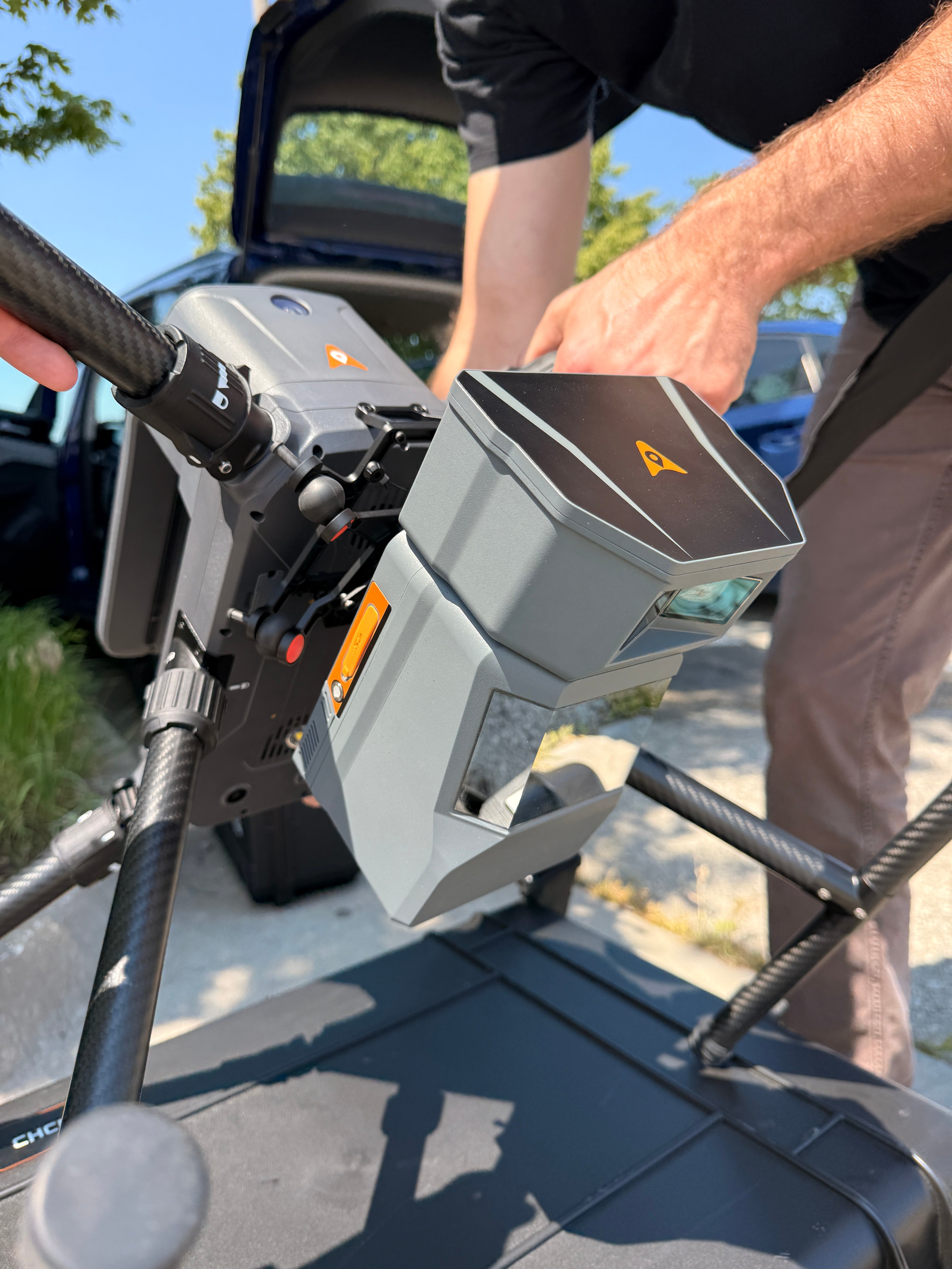
The AA6 integrates an upgraded core laser with a maximum ranging capability of up to 2,100 m, roughly three times that of the previous-generation AlphaAir system, and supports typical flight operations from 100 to 600 m AGL. Paired with a high-grade IMU featuring 0.3°/h bias stability, it maintains reliable point cloud accuracy in complex, high-relief terrain.
Fifth-generation RWP real-time waveform processing with seven multi-period capabilities drives point cloud density up to 1,000,000 pts/s (220 pts/m²) at 120 m AGL, and 200,000 pts/s (13 pts/m²) at 400 m AGL. The real-time multi-period algorithm supports on-the-fly point cloud generation even at high pulse repetition rates.
A 4/3-inch CMOS sensor with a 12 mm focal length and 74° field of view supports both 25 MP (6144 × 4096) and 100 MP (12288 × 8192) capture modes. 100 MP mode favors finer detail and higher flight altitudes for a given GSD; 25 MP mode offers a better signal-to-noise ratio, lower storage use, and shorter minimum trigger interval for missions below 150 m AGL.
At 1.35 kg, the AA6 supports up to 50 minutes of effective flight time and up to 15 km² of coverage per mission when deployed on the CHCNAV X500, with a 400 m flight altitude, 20% lateral overlap, and 20 m/s flight speed.
Open interface protocols allow the AA6 to integrate with mainstream multirotor UAV, fixed-wing UAV, and manned aircraft platforms, expanding the range of mission profiles a single sensor can support across a fleet.