The CHCNAV X500 is a professional rotor UAV engineered for exceptional payload capacity and flight endurance. Advanced flight controls and high-precision positioning deliver superior maneuverability and stability, while built-in visual SLAM and obstacle detection keep operations safe and intelligent. Compatible with CHCNAV sensors and third-party payloads via open SDK, the X500 is built for surveying, urban surveillance, emergency scouting, disaster relief, and inspection missions.

Automatically adjusts altitude to avoid crashes and lands safely even if a propeller malfunctions.

Seamless takeoffs and continuous power across multiple flights with dual hot-swappable batteries.

The BS10 station holds up to six batteries and doubles as a field power bank for greater efficiency.

Quick-release carbon fiber structure supports single-person operation and easy transport to the field.
The X500 carries up to three payloads at once, drawing from CHCNAV's own sensor line or certified third-party devices built on the CHCNAV SDK.
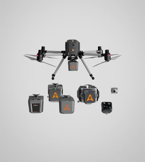
Six core systems work together to give the X500 its payload capacity, safety margin, and mission range.
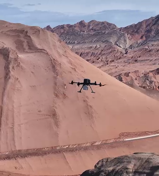
The X500 supports a 5 kg payload capacity and offers a flight endurance of up to 58 minutes with no payload, 52 minutes with a 2 kg payload, or 40 minutes with a 4 kg payload. An IP55 ingress protection rating and 12 m/s wind resistance keep it reliable in challenging field environments, with an operating range of -20°C to 50°C (-4°F to 122°F).
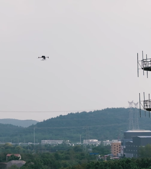
Robust redundancy across dual GNSS, triple IMU backups, dual-redundant flight control, and automatic safe-return strategies. A forward obstacle detection sensor covers a range of up to 80 meters, precisely identifying trees, buildings, and towers. The onboard vSLAM visual positioning system enables landings on moving vehicles and vessels.
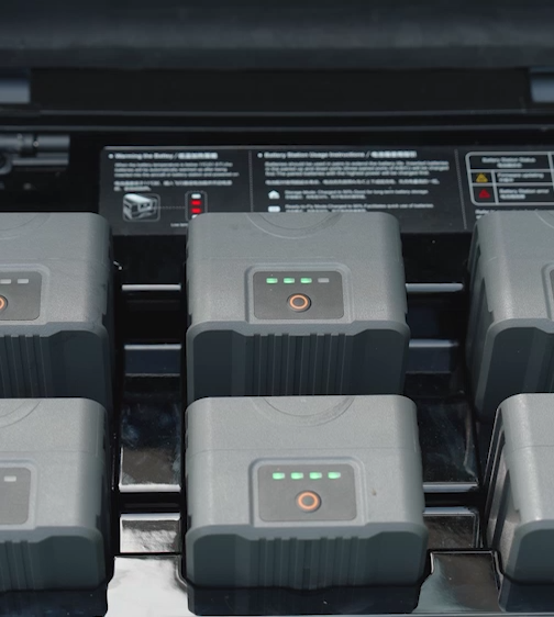
Paired with the BS10 intelligent battery station, which holds up to six B10 batteries and charges two simultaneously, the X500 supports fast charging from 20% to 90% in just 40 minutes. Each B10 battery is rated for a 450-cycle lifespan, lowering average operational cost per flight hour.
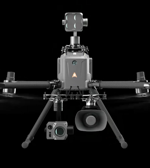
Supports up to three concurrent payloads and is compatible with CHCNAV LiDAR systems and cameras, including the AU20, AA15, AA10, AA9, C5, and C30. An open SDK interface enables integration with certified third-party devices, and the standard Mavlink protocol ensures adaptability across mission types.
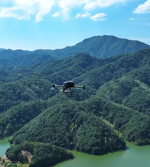
CHCNAV's video transmission system reaches up to 20 km under moderate or no-wind conditions, with advanced algorithms minimizing latency on the 1080p HD FPV feed. The EC10 remote controller pairs a 10.1-inch, 1920 x 1200 touchscreen at up to 1,000 nits with an intuitive operating experience.
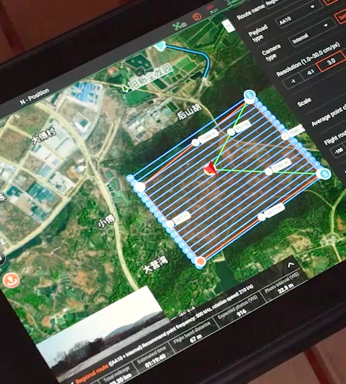
CHCNAV SmartGo ground control software supports rectangular, strip, polygonal, and facade flight paths, with real-time updates on drone status, heading, and surrounding obstacles for safer beyond-visual-line-of-sight (BVLOS) operations.
Vertical Aspect helps enterprise teams spec, purchase, and integrate the CHCNAV X500 with the right sensor payload for your mission.