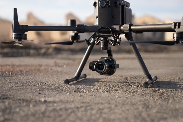
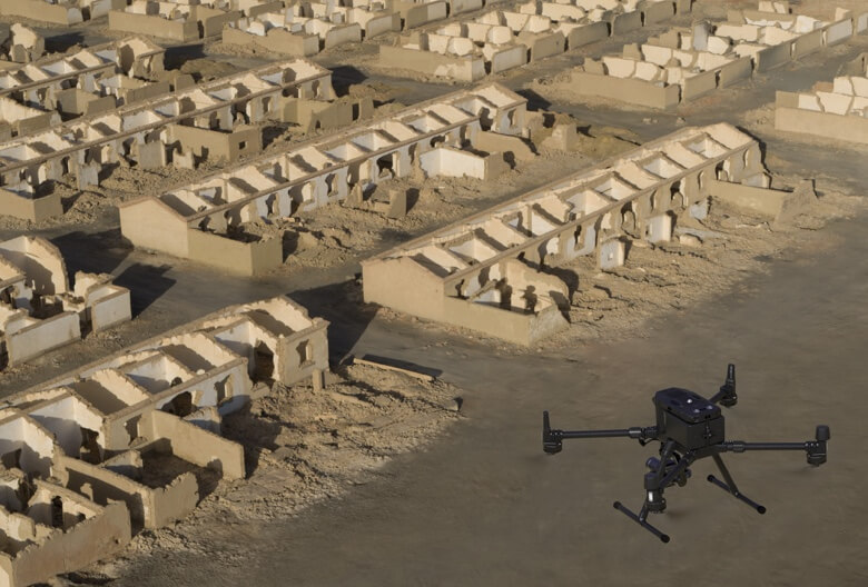
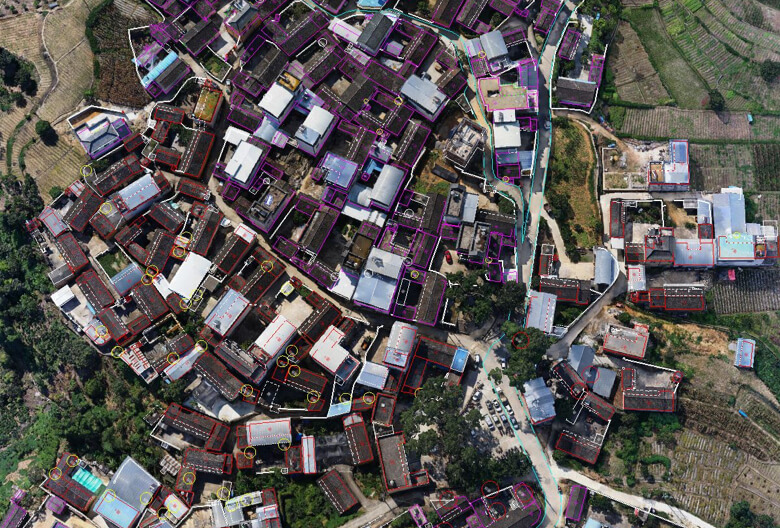
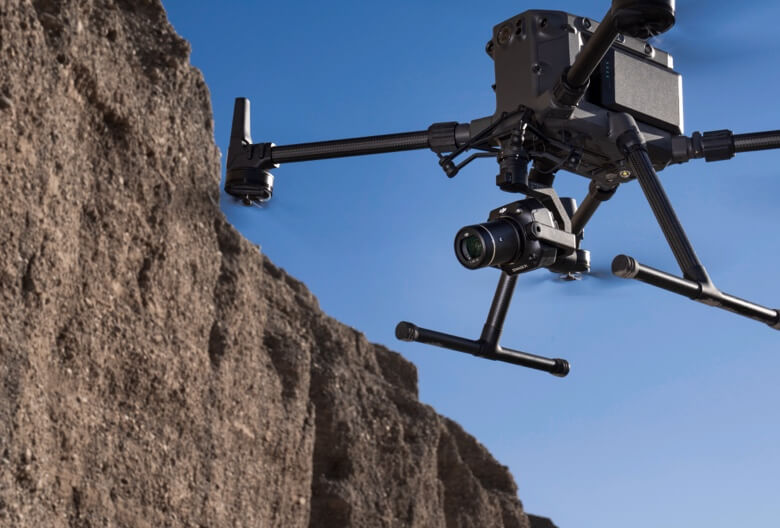
Transform your aerial surveying with the DJI Zenmuse P1 – where professional photogrammetry meets cutting-edge drone technology. This revolutionary camera system delivers survey-grade accuracy that eliminates the need for ground control points while maximizing operational efficiency.

Survey-Grade Precision Without Compromise | Achieve remarkable accuracy of 3 cm horizontally and 5 cm vertically without requiring ground control points. The P1's advanced positioning technology and real-time compensation deliver professional results that meet 1:500 scale mapping standards.
Unmatched Efficiency | Cover up to 3 km² in a single flight mission. With rapid 0.7-second photo intervals and intelligent flight planning, you'll complete more projects in less time while maintaining exceptional data quality.
Professional Full-Frame Performance | The 45-megapixel full-frame sensor captures stunning detail with minimal noise, even in challenging lighting conditions. Combined with the global mechanical shutter, every image is crystal clear and geometrically precise.