Industrial Workhorse. Zero Compromise.
Designed around large, efficient 33-inch carbon-fiber props with a 2.5:1 thrust ratio at max payload. Up to 15 kg capacity and 50 minutes unloaded flight time in a single-finger folding airframe. Auterion Enterprise PX4, multi-constellation GNSS, and full MAVSDK API support. Built and supported in Woodinville, WA. NDAA Section 848 / Blue UAS Cleared.
The Alta X carries large, heavy payloads over long flight windows while surviving the transport, temperature extremes, and vibration loads that operational programs demand. Engineering decisions are documented and verifiable.
Boom linkages fold to 877 mm diameter with no tools and no loose hardware. The folding mechanism stiffens the booms under load, maintaining the low-vibration flight characteristics the Alta line is known for. Pelican case-compatible. Unfolds and is flight-ready in under 90 seconds.
Confirmed flight times from Freefly's published performance data. 2 × 16Ah batteries at sea level. Numbers are the same whether the payload is a LiDAR sensor or nothing at all.
No Payload
0 kg / 0 lb
Mapping Camera
3.6 kg / 8 lb
Phoenix LiDAR
5 kg / 11 lb
Full Load
15 kg / 33.2 lb
69 Documented Tests
500+ Hrs Pre-Launch
IP43 Rated
Full Test Log Public
The Alta X's quick-release system, 15 kg capacity, and open expansion ports are validated against the sensor and payload types customers deploy operationally.
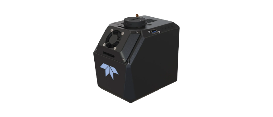
Compact UAV LiDAR sensor with 400/600 kHz PRF and Inertial Labs KERNEL-210 IMU. Designed for helicopter-class sensors in UAV form. Compatible with Alta X lower chassis quick-release. 30+ minute flight windows at operating weight.
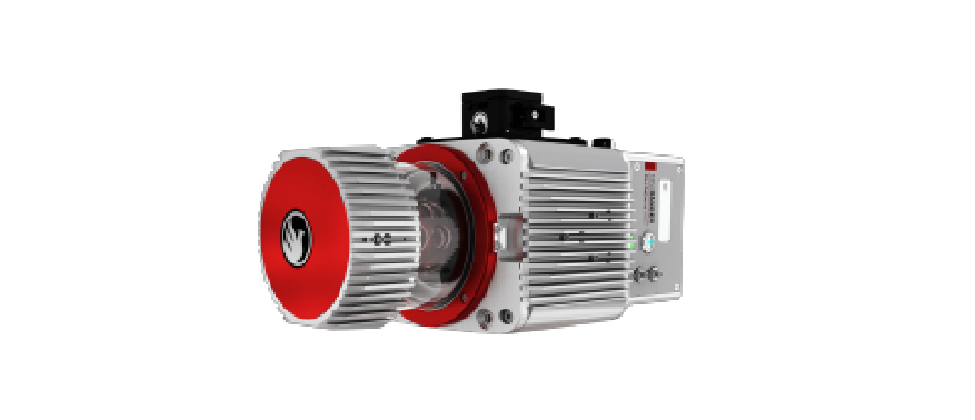
Full-size helicopter-derived LiDAR at approximately 5 kg. Confirmed 30+ minute Alta X flight windows in operational deployments. High point density for corridor mapping, power line inspection, and vegetation structure analysis.
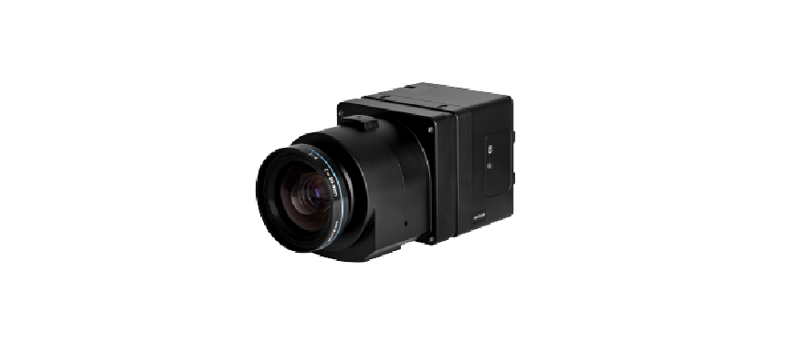
100 MP Phase One iXM with Movi Pro stabilization gimbal. Confirmed 35+ minute flights at 3.6 kg. Suitable for large-area orthophoto and 3D point cloud missions requiring high GSD and photogrammetric accuracy.
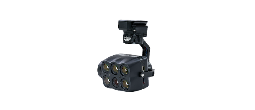
Four 3.2MP precision-filtered multispectral imagers (Green / Red / Red Edge / NIR), one 20.1MP RGB sensor, and a FLIR Boson 320x256 LWIR radiometric thermal camera — all captured simultaneously at 5 FPS. Real-time onboard multi-layer image registration. 512GB internal SSD. Smart Dovetail mount on a lightweight stabilized gimbal at 511g. NDAA compliant.
Geospatial solutions for surveying and mapping professionals — hardware, software, and field-tested workflows.
Want more information?
1520 Clay Street
Kansas City, MO 64116
© 2026 Vertical Aspect LLC. All Rights Reserved.