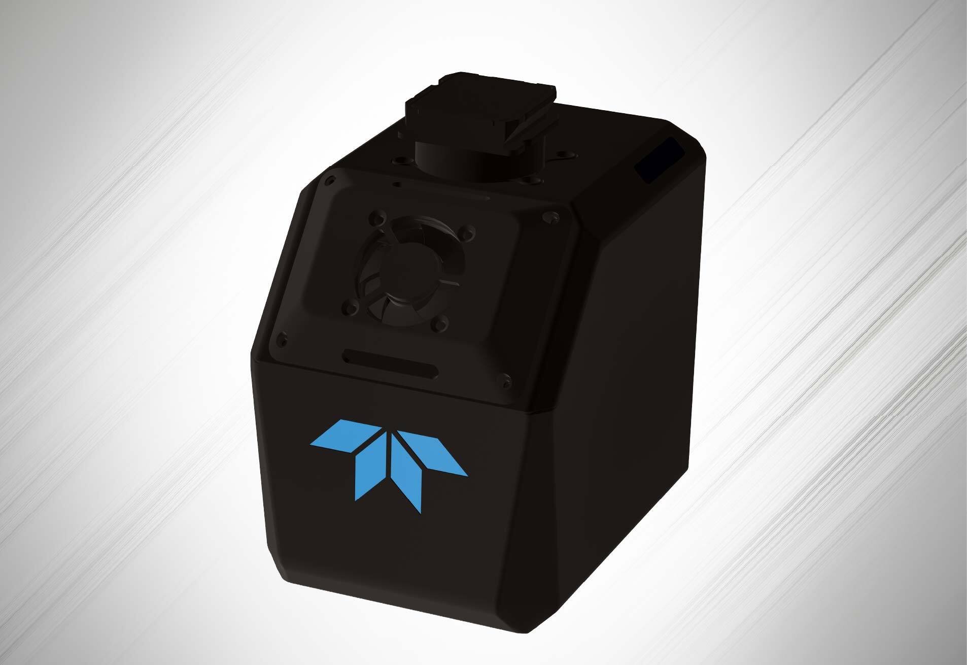
Teledyne EchoONE

Long-Range. Ultra-Light.  NDAA Secure.

Engineering-grade, colourized LiDAR point clouds from a 1.2 kg scanner. Real-time georeferencing, 270 m range, and 1.5 cm vertical accuracy designed for UAVs that fly within regulatory altitude limits. For projects on regulated or critical infrastructure, EchoONE meets NDAA FY2020 §848 and FY2023 §817 requirements, securing your supply chain and your data. 

0 ac
Area per 30-min flight
At 400 ft AGL · 8 m/s · 20% sidelap
0 pt/m²
Avg. point density
At 15 m/s forward speed, 400 ft AGL
0 kHz
Max pulse rate
474 kHz effective PRF
0 GB
Onboard storage
+ USB removable storage
shared image (1)

APPLICATIONS ----

Where EchoONE performs

From utility corridors to cadastral surveys, the EchoONE's combination of range, precision, and low weight makes it the preferred choice for demanding field programs.

Electric Utility & Vegetation Management

Capture transmission and distribution corridors with canopy penetration down to conductor level. Identify encroaching vegetation and measure clearance distances for statutory compliance reporting.

Land Survey & Topographic Mapping

Survey-grade DTMs and DSMs from 400 ft AGL in under 30 minutes per 695 acres. Real-time georeferenced output allows in-field verification before leaving the site.

Transportation & Corridor Mapping

Linear corridor mapping for highway design, rail, and pipeline routes. Colourized point clouds with integrated camera imagery accelerate deliverable production for engineering and design teams.

Asset Management

Routine inspection and inventory of pipelines, fences, roads, and drainage networks. Multi-return capability captures both above-ground assets and underlying terrain in the same flight, cutting survey time significantly.

Forestry and Environmental

Canopy height modelling, individual tree delineation, and biomass estimation using multi-return data that captures the full vertical forest profile from first returns through to ground level in dense canopy.

Mining and Volumetrics

Stockpile volume calculations, haul road mapping, and high-wall surveys with engineering-grade accuracy. NDAA compliance makes EchoONE suitable for sensitive government projects.

Pair EchoONE With the Right Platform

Inspired Flight IF800

NDAA-compliant, made in the USA multirotor a purpose-matched host platform for the EchoONE.

DJI Matrice 350 RTK

High-endurance enterprise platform with the payload capacity and stability needed for extended EchoONE survey missions.

Inspired Flight IF1200

Heavy-lift NDAA-compliant platform for dual-payload configurations EchoONE plus additional sensors simultaneously.

Get the EchoONE
Working for Your Program

Contact Vertical Aspect to discuss how the EchoONE fits your project requirements, UAV platform, and workflow.