Turn Complex Terrain Data into Clear, Actionable Models

Complex terrain doesn't have to mean complex workflows
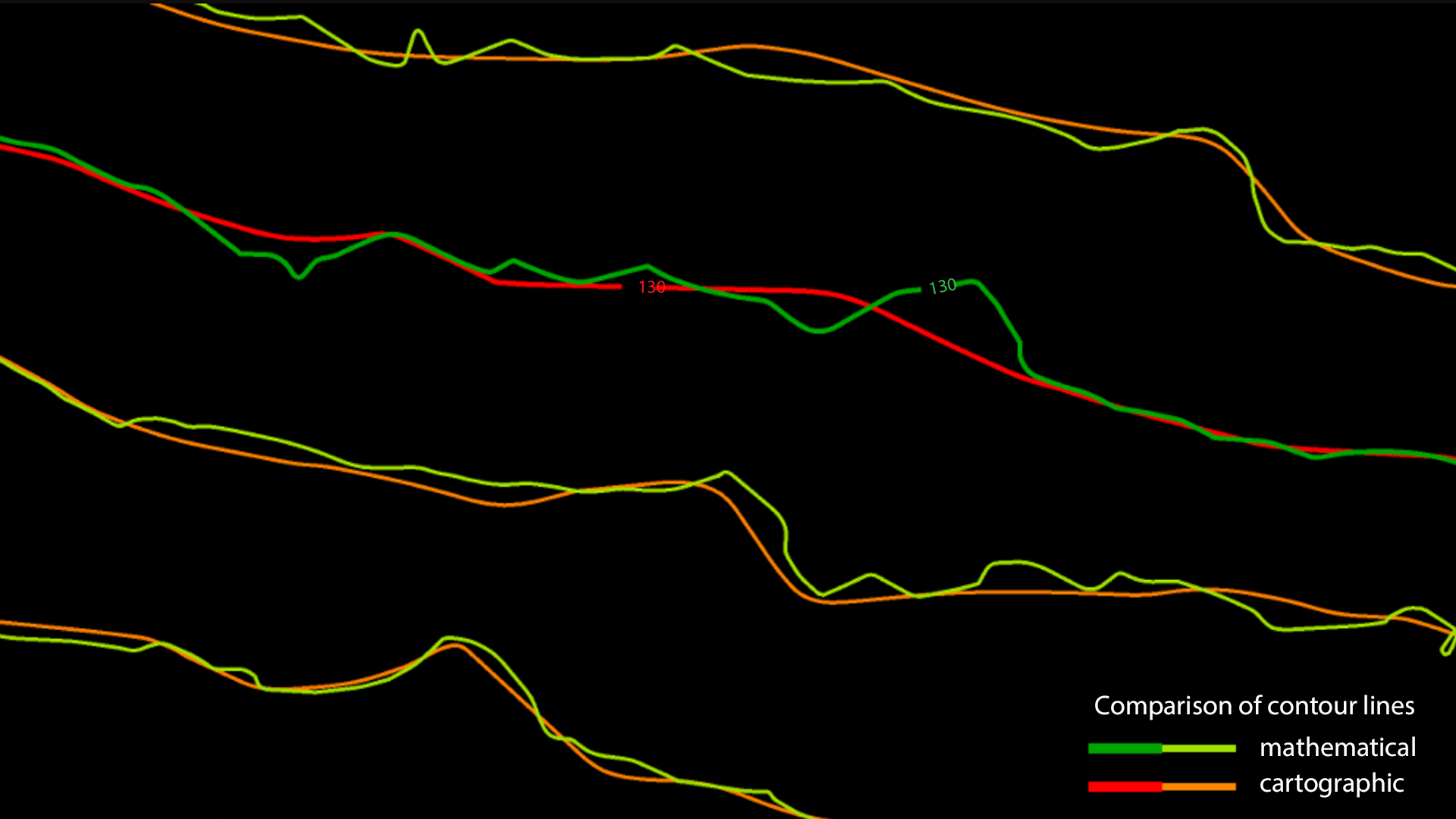
Create Surfaces That Tell the Complete Story | Build accurate surface models from any data source with confidence. TerraModeler's advanced algorithms process complex terrain features, ensuring your models capture every critical detail needed for engineering, planning, and analysis.
Seamless Workflow Integration | TerraModeler integrates seamlessly with TerraScan and other Terrasolid applications, creating a unified workflow from point cloud processing to final surface modeling. Your data flows smoothly through each stage without compatibility concerns or data loss.
Scale to Any Project Size | From single-site surveys to large-scale regional mapping, TerraModeler adapts to your needs. The full version includes powerful batch processing capabilities that automate repetitive tasks, letting you handle massive datasets efficiently while maintaining consistent quality.
Visualize Your Data, Your Way | See your terrain from every angle with flexible visualization options. Whether you need detailed contour maps, 3D renderings, or analytical views, TerraModeler presents your data in the format that best supports your decision-making process.
TerraModeler is available in Full, UAV and Lite versions
TerraModeler Delivers Results
- Accuracy You Can Trust - Proven algorithms ensure precise surface representation
- Flexible Visualization - Multiple display options for every analysis need
- Integrated Workflow - Works seamlessly with your existing Terrasolid tools
- Scalable Processing - Handle projects of any size with batch automation
- Professional Output - Generate publication-ready maps and analyses
Powerful Analysis Tools at Your Fingertips
Volume Calculations
Profile Generation
Comprehensive Mapping
Hardware Requirements
-
Quad-core processor or better, good processor frequency
-
8 GB RAM minimum, 16 GB RAM or more recommended
-
1024*768 resolution display or better
-
SSD hard disc or other storage device with fast access speed is recommended
-
Windows x64 version 7 or later
Compatible Platforms
- Spatix
-
MicroStation CONNECT Edition
-
PowerDraft CONNECT Edition
- OpenCities Map CONNECT Edition / PowerView CONNECT Edition / Enterprise CONNECT Edition
-
ContextCapture Editor CONNECT Edition
-
OpenRoads Designer
− Model Your Success −
TerraModeler simplifies surface modeling while delivering the precision and flexibility your projects require.
Ready to streamline your terrain modeling? Discover how TerraModeler can accelerate your surface analysis workflow.