3D Maps | Aerial Imagery | Aerial Mapping | BLOG | FAQ | How To | Inspections | Mapping - General | Topography Maps
Uses for Drone Mapping
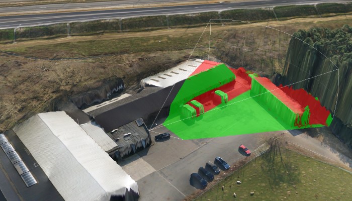
One of the first questions we receive from those new to drone mapping, is “What use is drone mapping to me? – What can I do with drone mapping?” In this article, we’re going to show, at a high level (pun intended) that the UAV mapping field has significantly more capabilities than the typical “Google Earth” type of map… Orthomosaics That being said, an orthomosaic is what is represented in Google Earth. It’s a combination of a multitude (up to thousands) of individual, overlapping nadir (pointed straight down) photos. …
… Read More


