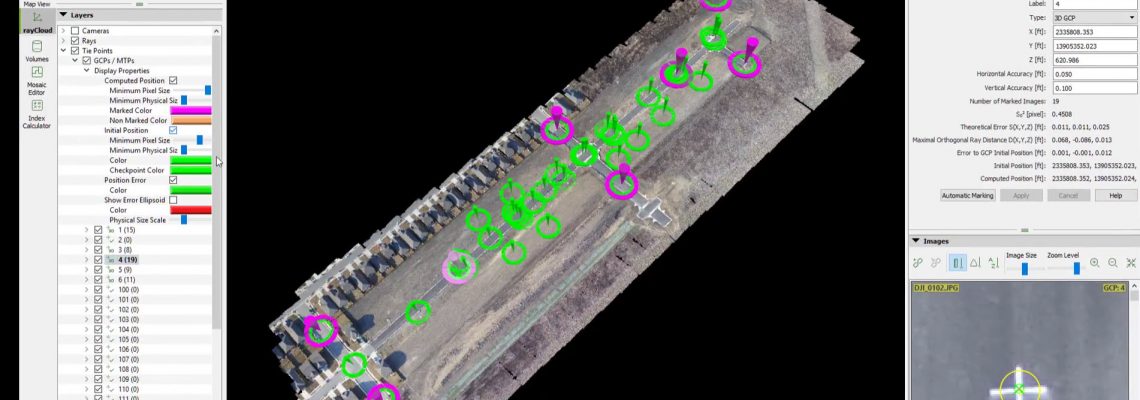
Ground Control Points (GCP) & Check Shots in Pix4D
This video explains the difference between Ground Control Points (GCP) and check shots and how to use both of them within Pix4D Pro Mapper software to obtain survey grade accuracy Attributes of GCPs and Check Points GCPs are used to rotate, scale and orientate the project in a real world location or in some cases in a “Local Coordinate System) GCPs are typically statically placed around the outside edge of the project with at least one GCP in the interior of the project GCPs should not be more than 1,000-1,500 …
… Read More


