One of the first questions we receive from those new to drone mapping, is “What use is drone mapping to me? – What can I do with drone mapping?” In this article, we’re going to show, at a high level (pun intended) that the UAV mapping field has significantly more capabilities than the typical “Google Earth” type of map…
Orthomosaics

That being said, an orthomosaic is what is represented in Google Earth. It’s a combination of a multitude (up to thousands) of individual, overlapping nadir (pointed straight down) photos. From these images, post-processing software can produce a single very large image, geometrically corrected for topographic relief, lens distortion and camera tilt. Future postings will go more into detail on the science, technology and workflow which can help make this all happen. Since the file sizes can be up to multiple Gigabytes, they can therefore can contain significant detail.
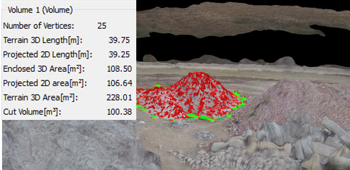
Volume & Calculations
Along with the orthomosaic, a 3D model can be produced, which will generate a point cloud, effectively a 3D model. From this model, distances, volumes, area and perimeter calculations can be generated with drone mapping.

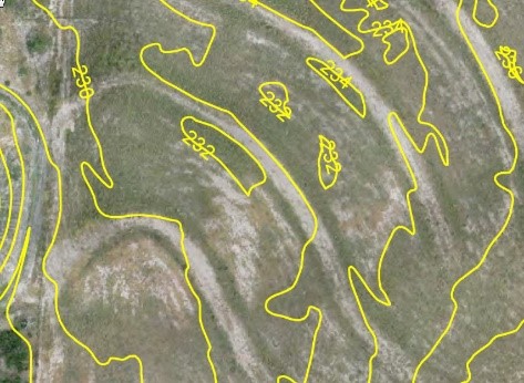
Topographic (Contour) maps
These maps have a vertical scale to determine a point in three dimensional space. Contour lines are produced from connecting points of equal elevation (depicted in detail), ground elevation contours or slope directions of the underlying surface
Uses for Drone Mapping:
- Determine suitability of site for construction
- Find out profile of the ground
- Determine optimum routing for railway or oil lines
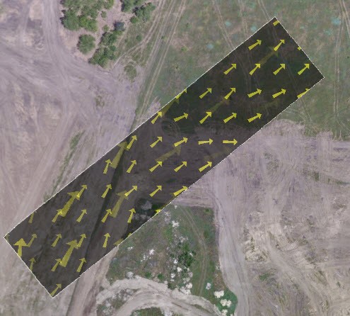
- Determine catchment area and quality of water flow and determine flood levels
Real Estate – Management / Marketing / Inspection
Uses for Drone Mapping:
- Capture, view & analyze aerial imagery
- Repeatable flight plans during various construction phases
- Provide 3D model for marketing / progress management
- Determine roof condition prior to purchase
- Inventory Management

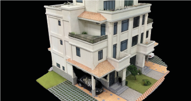
3D Models
Uses for Drone Mapping:
- View Interactively
- Make fly-through video
Infrastructure Inspections

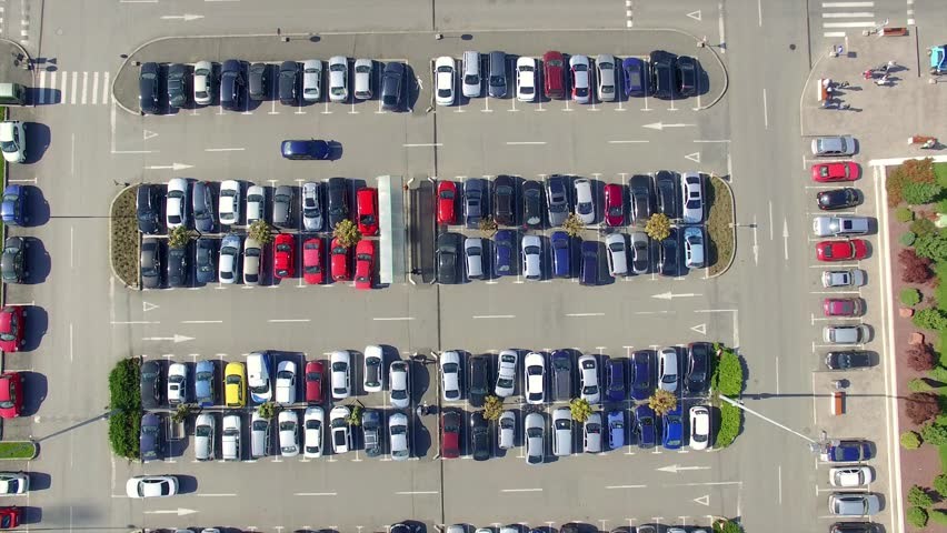
Asset Documentation / Inventory Management
Uses for Drone Mapping:
- Count spaces
- Check condition of markings and parking surface
- Verify automobile inventory level
- Calculate lot size
- Document site for insurance purposes (Pre & Post event imaging)
Oil Field Documentation
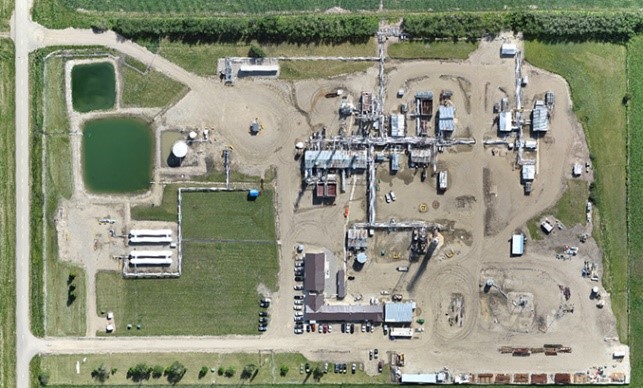
Develop Site Map to document lease site
Uses for Drone Mapping:
- Before drilling
- During Operation
- Following Remediation
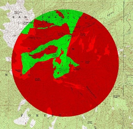
Terrain Analysis & Visualization (ViewShed)
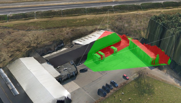
Determine visible / shadowed areas
Project view from different stories for planned structure
Determine optimum placement position/height for desired coverage
- Security Cameras
- Lighting
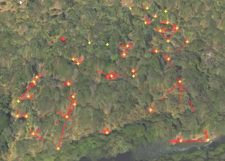
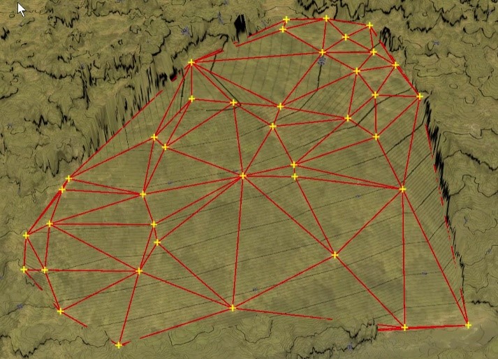
Virtually Remove Vegetation
Uses for Drone Mapping:
- Mark open areas between existing terrain features
- Triangulate between point
- Virtually “remove” terrain to reveal underlying surface and reveal contours with elevations
Accident Reconstruction
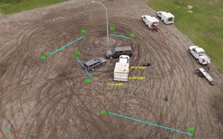
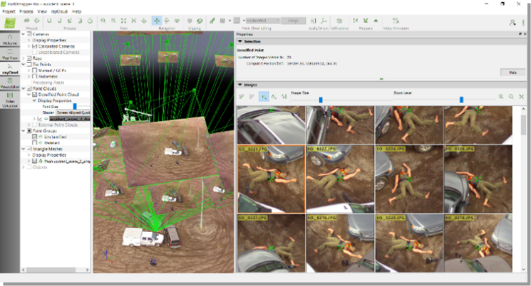
Uses for Drone Mapping:
- Create measurable 2D and 3D outputs for analysis
- Preserves all images (Visualization and court evidence)
- Quality report attests to survey accuracy
- Outputs suitable for CAD software for accident diagram reports (e.g. IMS Map360, EdgeFX)
Tying it all Together
Look for future blog posts and check out our FAQ section in which we’ll discuss the components needed for UAV mapping and how to go about getting started or to obtain services in the varied world of UAV Mapping.


