Home
About Us
Vertical Aspect Team
Vertical Aspect Offerings
Products
Pix4D Pro Mapper
Robota Eclipse
Virtual Surveyor
Services
Aerial Imagery Services
Training
UAV Consulting
UAV Mapping Services
Gallery
Video Gallery
Our Blog
Resources
UAV Mapping Apps & Links
Frequently Asked Questions
Presentations
Training Videos
Financing & Credit
Sitemap
Contact Us
User Videos
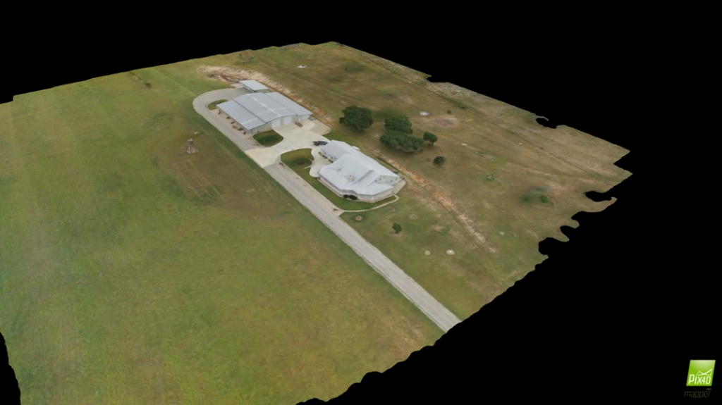
Hull Ranch
Posted by
ELpnarf6wF
Ranches & Real Estate
19 views
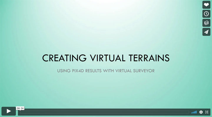
Using Pix4D files to create terrains in Virtual Surveyor
Posted by
ELpnarf6wF
Virtual Surveyor for Pix4D
,
UAV Products
,
Pix4D Product Info
63 views
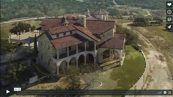
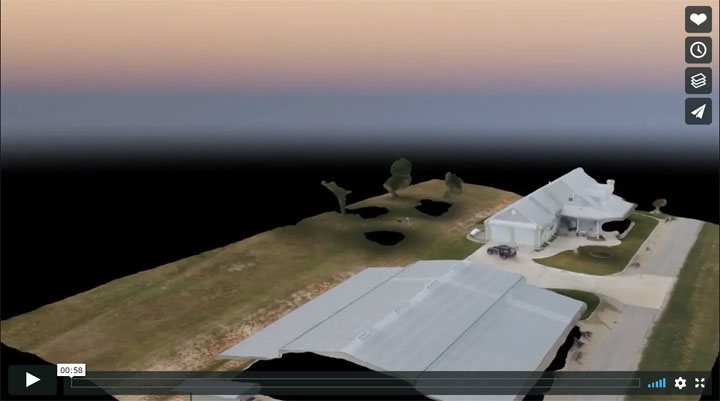
Early Highlights-Real Estate
Posted by
ELpnarf6wF
Ranches & Real Estate
16 views
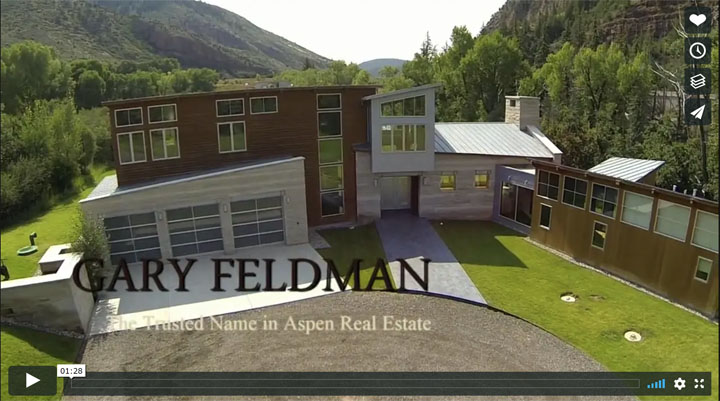
Sample Real Estate video-2013
Posted by
ELpnarf6wF
Ranches & Real Estate
3 views
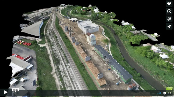
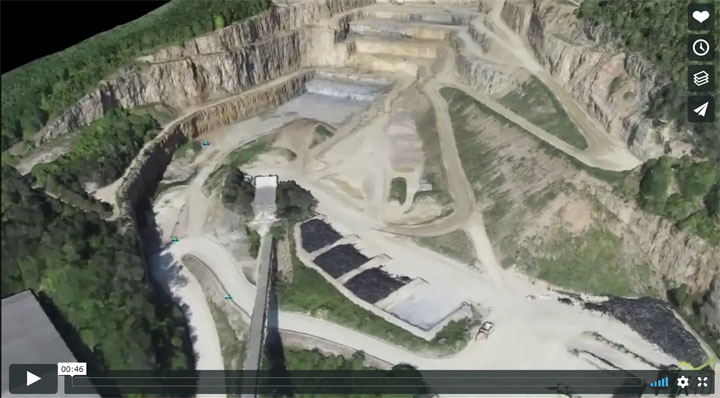
Tilden Pipeline Overflight
Posted by
ELpnarf6wF
Aerial Mapping
10 views
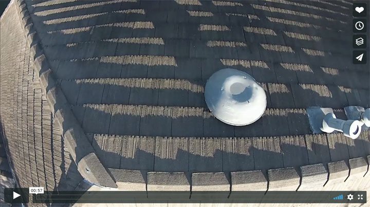
Drone Roof Inspection
Posted by
ELpnarf6wF
Inspections
14 views
3D Fly Thru-Blue Star
Posted by
ELpnarf6wF
Aerial Mapping
18 views
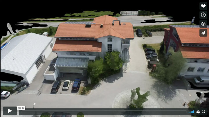
Building 3D Fly Through
Posted by
ELpnarf6wF
Aerial Mapping
71 views
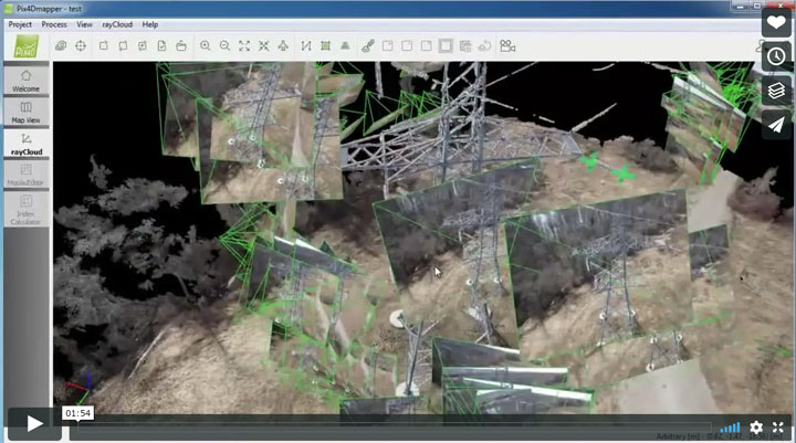
Pix4D – Mapping and Inspecting a power tower
Posted by
ELpnarf6wF
UAV Products
,
Pix4D Product Info
120 views
Create a 3D Fly-Through Video Animation
Posted by
ELpnarf6wF
Aerial Mapping
29 views
VA-Animated logo
Posted by
ELpnarf6wF
News-Interviews
6 views
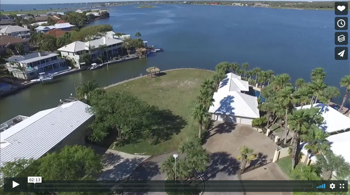
34 Bahama Dr-Rockport TX
Posted by
ELpnarf6wF
Ranches & Real Estate
9 views
Fredericksburg Ranch 3D Fly-Thru
Posted by
ELpnarf6wF
Ranches & Real Estate
4 views
Pix4D-Which Output Files Should Be Used?
Posted by
ELpnarf6wF
UAV Products
,
Pix4D Product Info
33 views
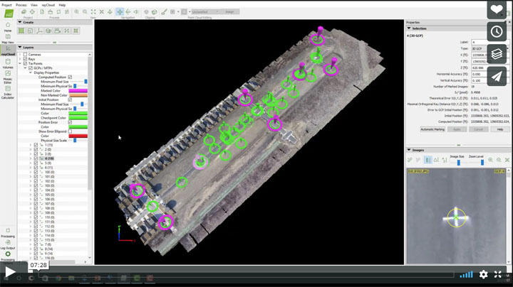
Ground Control Points (GCP) & Check Points-Pix4D Pro Mapper
Posted by
ELpnarf6wF
UAV Products
,
Pix4D Product Info
75 views
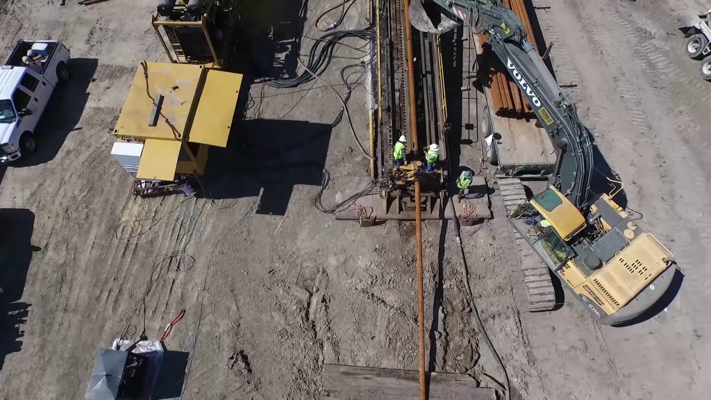
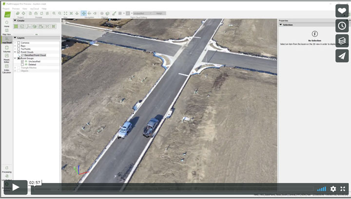
Pix4D – Construction Solutions
Posted by
ELpnarf6wF
UAV Products
,
Pix4D Product Info
27 views
Pix4D – Real Estate Solutions
Posted by
ELpnarf6wF
UAV Products
,
Pix4D Product Info
27 views
Pix4D – Surveying Solutions
Posted by
ELpnarf6wF
UAV Products
,
Pix4D Product Info
,
Aerial Mapping
26 views
Username or Email Address
Password
Remember Me
Search for:
Search for:
Home
About Us
Vertical Aspect Team
Vertical Aspect Offerings
Products
Pix4D Pro Mapper
Robota Eclipse
Virtual Surveyor
Services
Aerial Imagery Services
Training
UAV Consulting
UAV Mapping Services
Gallery
Video Gallery
Our Blog
Resources
UAV Mapping Apps & Links
Frequently Asked Questions
Presentations
Training Videos
Financing & Credit
Sitemap
Contact Us