• Home
  • About Us
    • Vertical Aspect Team
    • Vertical Aspect Offerings
  • Products
    • Pix4D Pro Mapper
    • Robota Eclipse
    • Virtual Surveyor
  • Services
    • Aerial Imagery Services
    • Training
    • UAV Consulting
    • UAV Mapping Services
  • Gallery
    • Video Gallery
  • Our Blog
  • Resources
    • UAV Mapping Apps & Links
    • Frequently Asked Questions
    • Presentations
    • Training Videos
    • Financing & Credit
    • Sitemap
  • Contact Us

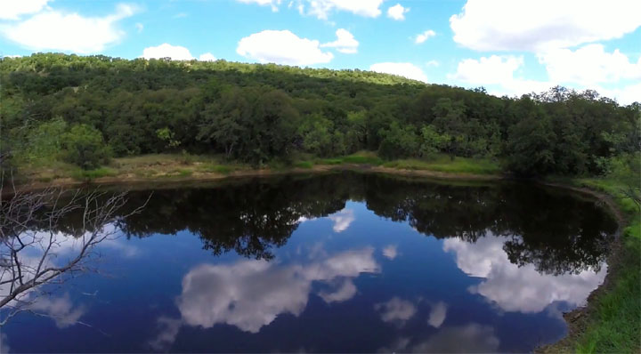
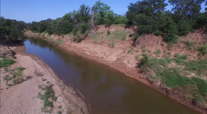
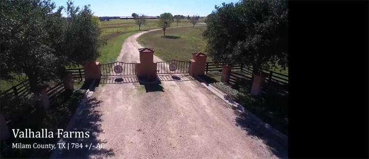
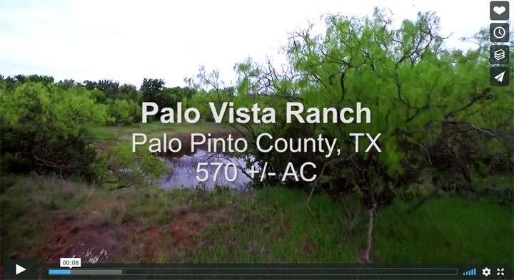
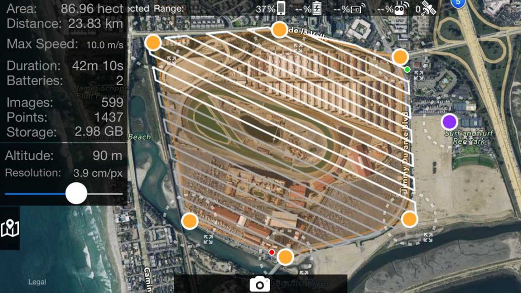
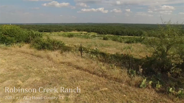
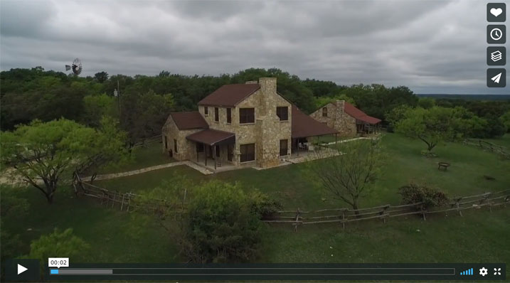
3D Fly Thru-Blue Star

Posted by ELpnarf6wF
Aerial Mapping
15 views
Facebook Twitter Linkedin Pin It

You may also like

Tilden Pipeline Overflight
Posted by ELpnarf6wF
Aerial Mapping
8 views
Building 3D Fly Through
Posted by ELpnarf6wF
Aerial Mapping
64 views
Create a 3D Fly-Through Video Animation
Posted by ELpnarf6wF
Aerial Mapping
20 views
Pix4D – Surveying Solutions
Posted by ELpnarf6wF
UAV Products, Pix4D Product Info, Aerial Mapping
23 views
Garner Park Ranch
Garner Park Ranch
Posted by Mark Paulson
Ranches & Real Estate, Aerial Mapping
7 views
Clayton Mountain Ranch
Posted by Mark Paulson
Ranches & Real Estate, Aerial Mapping
6 views
Chrystal Falls Ranch
Posted by Mark Paulson
Ranches & Real Estate, Aerial Mapping
7 views
Valhalla Farms
Valhalla Farms
Posted by Mark Paulson
Ranches & Real Estate, Aerial Mapping
9 views
Palo Vista Ranch
Palo Vista Ranch
Posted by Mark Paulson
Ranches & Real Estate, Aerial Mapping
7 views
Bitter Creek
Bitter Creek
Posted by Mark Paulson
Ranches & Real Estate, Aerial Mapping
8 views
Map Pilot Plan-Flight
Posted by Mark Paulson
Aerial Mapping
14 views
Robinson Creek Ranch
Posted by Mark Paulson
Ranches & Real Estate, Aerial Mapping
7 views
Garner Mountain Ranch
Posted by Mark Paulson
Ranches & Real Estate, Aerial Mapping
6 views

Submit a Blog Article Request

What is the color of the ocean?

Recent Posts

  • Vertical Aspect – Interview in AAPG Explorer Magazine March 21, 2017
  • Ground Control Points (GCP) & Check Shots in Pix4D February 16, 2017
  • Drone Mapping Accuracy – Part II – Real Time Kinematics (RTK) January 16, 2017
  • Components for Drone Mapping January 2, 2017
  • Drone Mapping Accuracy – Part I – Ground Control Points (GCP) December 26, 2016

Archives

  • March 2017
  • February 2017
  • January 2017
  • December 2016
  • November 2016
  • March 2016
  • February 2016
  • August 2015
  • March 2015

Categories

  • 3D Maps
  • Aerial Imagery
  • Aerial Mapping
  • BLOG
  • Blog – How To
  • Blog – News
  • Blog – Overview
  • Blog-Technology
  • Custom Maps
  • FAA Regulations
  • FAQ
  • Flight Plans
  • General Drone Information
  • How To
  • Industry Insights
  • Inspections
  • Mapping – General
  • Ortho Images
  • Other Maps
  • Our Blog
  • Pix4D Outputs
  • Pix4D Product Info
  • Ranches & Real Estate
  • Topography Maps
  • UAV Training
  • V-Map RCS
  • Video
GET STARTED

Vertical Aspect can help find the right solutions to fit your UAV needs.

Contact Us

© 2023 VERTICAL ASPECT, LLC · support@verticalaspect.com · (210) 896-3384

  • Home
  • About Us
    • Vertical Aspect Team
    • Vertical Aspect Offerings
  • Products
    • Pix4D Pro Mapper
    • Robota Eclipse
    • Virtual Surveyor
  • Services
    • Aerial Imagery Services
    • Training
    • UAV Consulting
    • UAV Mapping Services
  • Gallery
    • Video Gallery
  • Our Blog
  • Resources
    • UAV Mapping Apps & Links
    • Frequently Asked Questions
    • Presentations
    • Training Videos
    • Financing & Credit
    • Sitemap
  • Contact Us