Home
About Us
Vertical Aspect Team
Vertical Aspect Offerings
Products
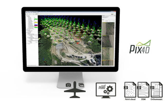
Pix4D Pro Mapper
Robota Eclipse
Virtual Surveyor
Services
Aerial Imagery Services
Training
UAV Consulting
UAV Mapping Services
Gallery
Video Gallery
Our Blog
Resources
UAV Mapping Apps & Links
Frequently Asked Questions
Presentations
Training Videos
Financing & Credit
Sitemap
Contact Us
User Videos
Pix4D – Agriculture Solutions
Posted by
Mark Paulson
UAV Products
,
Pix4D Product Info
18 views
Pix4D Chillon Project 3D Model
Posted by
Mark Paulson
UAV Products
,
Pix4D Product Info
,
Pix4D Outputs
23 views
Pix4D Simply Powerful
Posted by
Mark Paulson
UAV Products
,
Pix4D Product Info
5 views
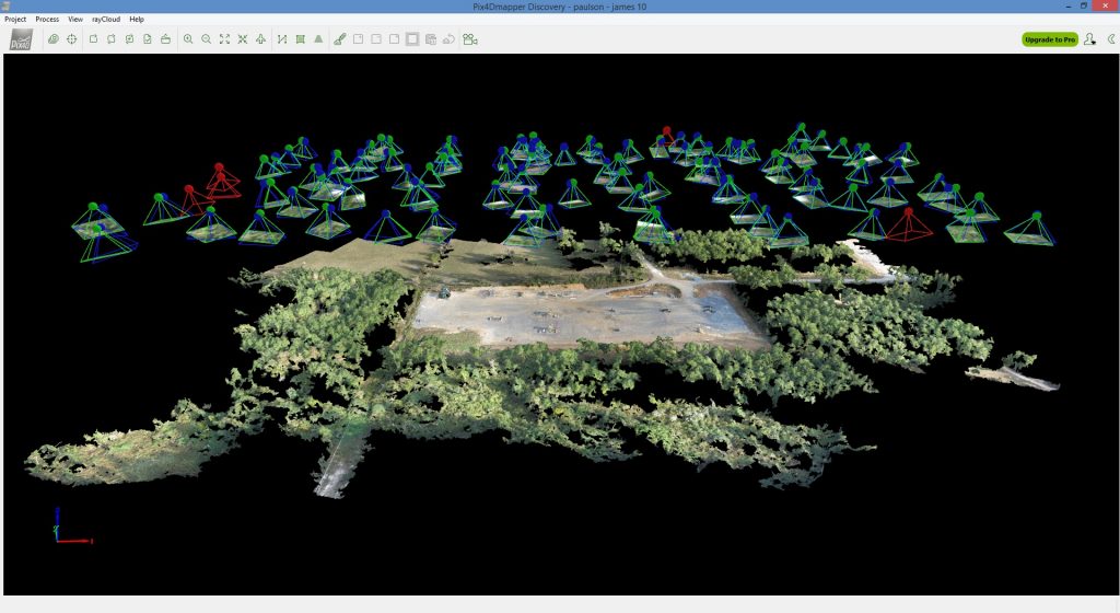
rayCloud Tutorial
Posted by
Mark Paulson
UAV Products
,
Pix4D Product Info
17 views
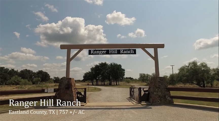
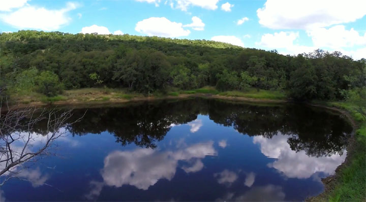
Ranger Hill Ranch
Posted by
Mark Paulson
Ranches & Real Estate
45 views
Garner Park Ranch
Posted by
Mark Paulson
Ranches & Real Estate
,
Aerial Mapping
8 views
DJI Phantom 3 & Inspire 1 Takeoffs-Landings
Posted by
Mark Paulson
UAV Products
9 views
Clayton Mountain Ranch
Posted by
Mark Paulson
Ranches & Real Estate
,
Aerial Mapping
7 views
KSAT 12 Drone News
Posted by
Mark Paulson
News-Interviews
19 views
Pix4D Mapping
Posted by
Mark Paulson
UAV Products
,
Pix4D Product Info
7 views
Pix4D Mapping-DJI App
Posted by
Mark Paulson
Pix4Dmapper DJI App for Android OS - Guided Tour
UAV Products
,
Pix4D Product Info
16 views
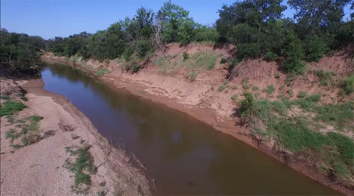
Chrystal Falls Ranch
Posted by
Mark Paulson
Ranches & Real Estate
,
Aerial Mapping
9 views
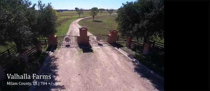
Valhalla Farms
Posted by
Mark Paulson
Ranches & Real Estate
,
Aerial Mapping
11 views
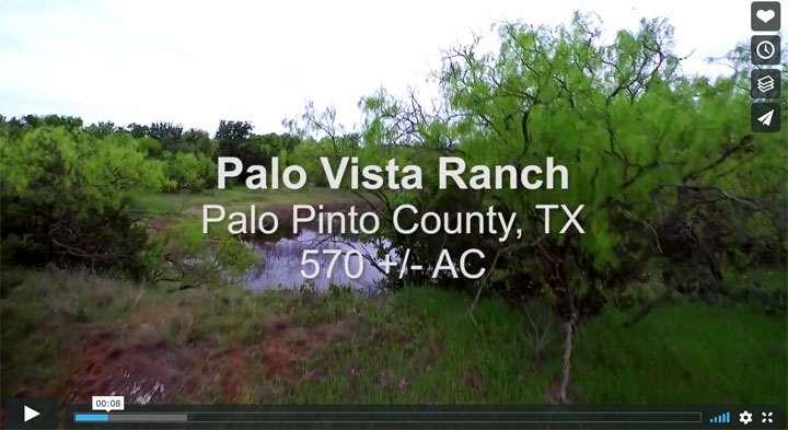
Palo Vista Ranch
Posted by
Mark Paulson
Ranches & Real Estate
,
Aerial Mapping
9 views
Bitter Creek
Posted by
Mark Paulson
Ranches & Real Estate
,
Aerial Mapping
9 views
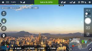
Map Pilot Plan-Flight
Posted by
Mark Paulson
Aerial Mapping
16 views
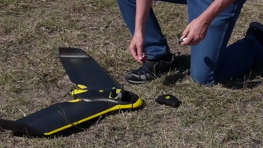
senseFly eBee Flight
Posted by
Mark Paulson
UAV Products
9 views
rayCloud Introduction
Posted by
Mark Paulson
UAV Products
,
Pix4D Product Info
13 views
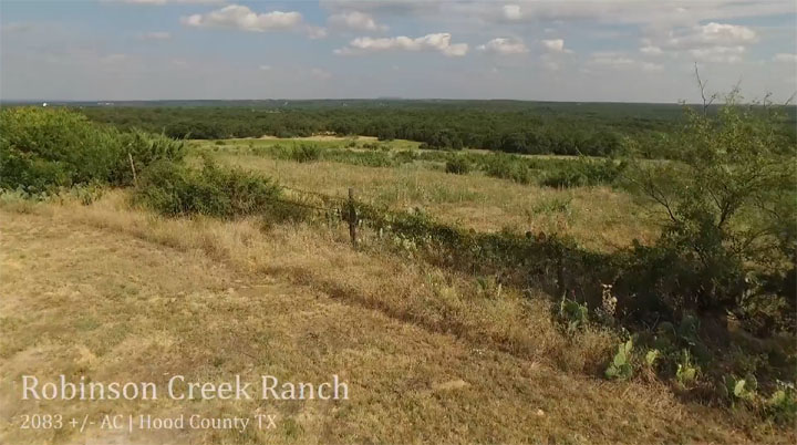
Robinson Creek Ranch
Posted by
Mark Paulson
Ranches & Real Estate
,
Aerial Mapping
7 views
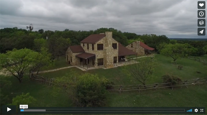
Garner Mountain Ranch
Posted by
Mark Paulson
Ranches & Real Estate
,
Aerial Mapping
8 views
Username or Email Address
Password
Remember Me
Search for:
Search for:
Home
About Us
Vertical Aspect Team
Vertical Aspect Offerings
Products
Pix4D Pro Mapper
Robota Eclipse
Virtual Surveyor
Services
Aerial Imagery Services
Training
UAV Consulting
UAV Mapping Services
Gallery
Video Gallery
Our Blog
Resources
UAV Mapping Apps & Links
Frequently Asked Questions
Presentations
Training Videos
Financing & Credit
Sitemap
Contact Us