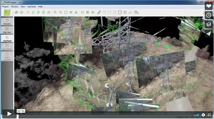
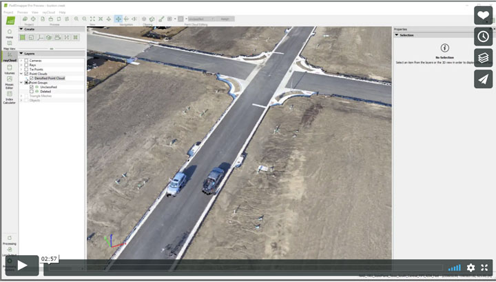
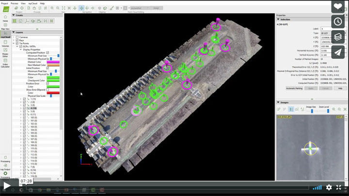
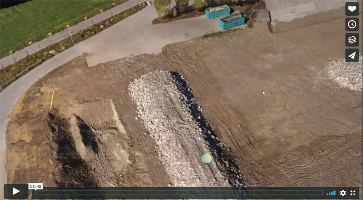
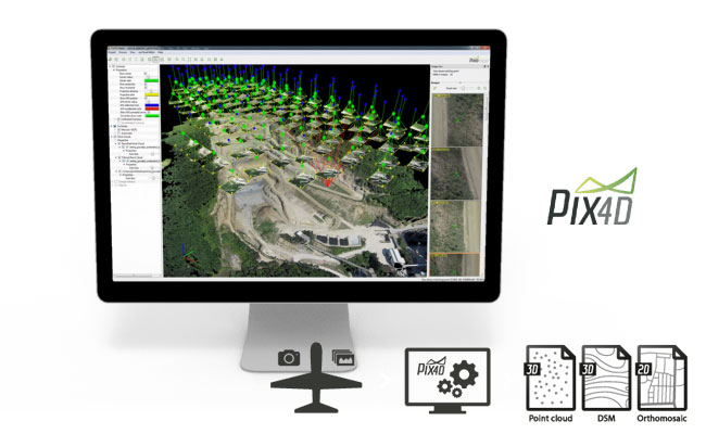
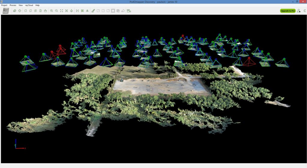
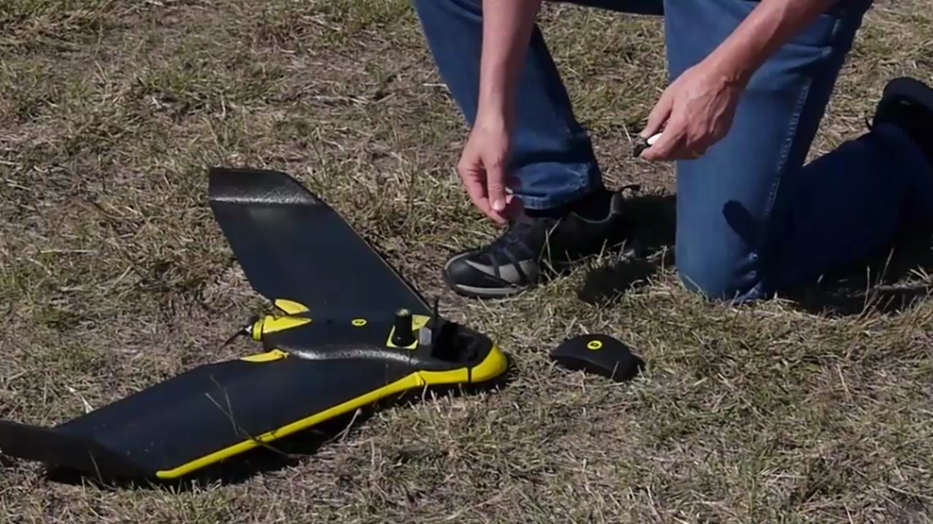
Pix4D Chillon Project 3D Model Posted by Mark Paulson UAV Products, Pix4D Product Info, Pix4D Outputs 23 views Facebook Twitter Linkedin Pin It You may also like Using Pix4D files to create terrains in Virtual Surveyor Posted by ELpnarf6wF Virtual Surveyor for Pix4D, UAV Products, Pix4D Product Info 63 views Pix4D – Mapping and Inspecting a power tower Posted by ELpnarf6wF UAV Products, Pix4D Product Info 120 views Pix4D-Which Output Files Should Be Used? Posted by ELpnarf6wF UAV Products, Pix4D Product Info 33 views Ground Control Points (GCP) & Check Points-Pix4D Pro Mapper Posted by ELpnarf6wF UAV Products, Pix4D Product Info 75 views Pix4D – Construction Solutions Posted by ELpnarf6wF UAV Products, Pix4D Product Info 27 views Pix4D – Real Estate Solutions Posted by ELpnarf6wF UAV Products, Pix4D Product Info 27 views Pix4D – Surveying Solutions Posted by ELpnarf6wF UAV Products, Pix4D Product Info, Aerial Mapping 26 views Pix4D – Agriculture Solutions Posted by Mark Paulson UAV Products, Pix4D Product Info 18 views Pix4D Simply Powerful Posted by Mark Paulson UAV Products, Pix4D Product Info 5 views rayCloud Tutorial Posted by Mark Paulson UAV Products, Pix4D Product Info 17 views DJI Phantom 3 & Inspire 1 Takeoffs-Landings Posted by Mark Paulson UAV Products 9 views Pix4D Mapping Posted by Mark Paulson UAV Products, Pix4D Product Info 7 views Pix4D Mapping-DJI App Posted by Mark Paulson Pix4Dmapper DJI App for Android OS - Guided Tour UAV Products, Pix4D Product Info 16 views senseFly eBee Flight Posted by Mark Paulson UAV Products 9 views rayCloud Introduction Posted by Mark Paulson UAV Products, Pix4D Product Info 13 views