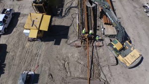
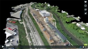
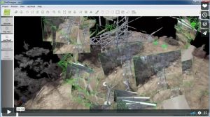
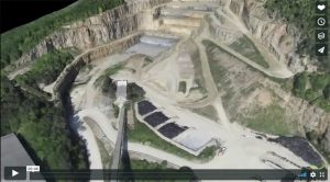
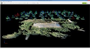
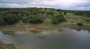
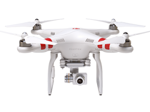
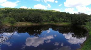
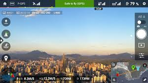
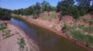
Pix4D – Surveying Solutions UAV Products,Pix4D Product Info,Aerial Mapping ELpnarf6wF/ 26 views You may also like Using Pix4D files to create terrains in Virtual Surveyor ELpnarf6wF/ 64 views Virtual Surveyor for Pix4D,UAV Products,Pix4D Product Info Tilden Pipeline Overflight ELpnarf6wF/ 12 views Aerial Mapping 3D Fly Thru-Blue Star ELpnarf6wF/ 18 views Aerial Mapping Building 3D Fly Through ELpnarf6wF/ 78 views Aerial Mapping Pix4D – Mapping and Inspecting a power tower ELpnarf6wF/ 146 views UAV Products,Pix4D Product Info Create a 3D Fly-Through Video Animation ELpnarf6wF/ 32 views Aerial Mapping Pix4D-Which Output Files Should Be Used? ELpnarf6wF/ 33 views UAV Products,Pix4D Product Info Ground Control Points (GCP) & Check Points-Pix4D Pro Mapper ELpnarf6wF/ 81 views UAV Products,Pix4D Product Info Pix4D – Construction Solutions ELpnarf6wF/ 28 views UAV Products,Pix4D Product Info Pix4D – Real Estate Solutions ELpnarf6wF/ 30 views UAV Products,Pix4D Product Info Pix4D – Agriculture Solutions Mark Paulson/ 26 views UAV Products,Pix4D Product Info Pix4D Chillon Project 3D Model Mark Paulson/ 23 views UAV Products,Pix4D Product Info,Pix4D Outputs Pix4D Simply Powerful Mark Paulson/ 5 views UAV Products,Pix4D Product Info rayCloud Tutorial Mark Paulson/ 19 views UAV Products,Pix4D Product Info Garner Park Ranch Mark Paulson/ 13 views Ranches & Real Estate,Aerial Mapping DJI Phantom 3 & Inspire 1 Takeoffs-Landings Mark Paulson/ 9 views UAV Products Clayton Mountain Ranch Mark Paulson/ 7 views Ranches & Real Estate,Aerial Mapping Pix4D Mapping Mark Paulson/ 7 views UAV Products,Pix4D Product Info Pix4D Mapping-DJI App Mark Paulson/ 16 views UAV Products,Pix4D Product Info Pix4Dmapper DJI App for Android OS - Guided Tour Chrystal Falls Ranch Mark Paulson/ 10 views Ranches & Real Estate,Aerial Mapping 12»Page 1 of 2